Stake attention in this memory
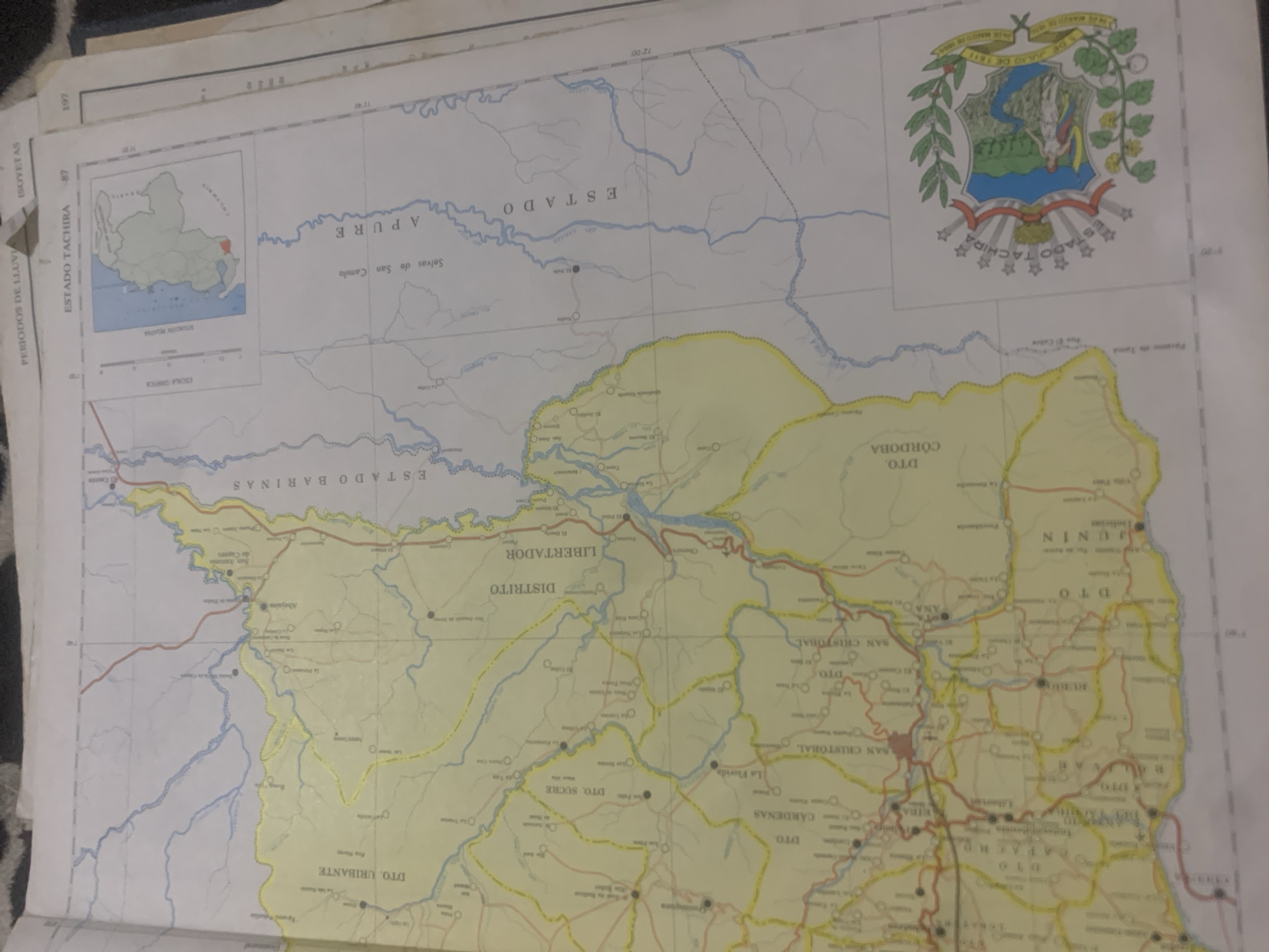
This media file is a close-up, overhead shot of a map, likely a geographical or political map of Venezuela, given the visible text "ESTADO TACHIRA" and "ESTADO APURE," and the presence of the Venezuelan coat of arms. The map is laid out on a surface that appears to be a table or desk, with other papers visible in the background, suggesting it's part of a larger document or atlas. The map displays rivers, state borders, and towns, with various regions color-coded. Prominent text labels include "ESTADO TACHIRA," "ESTADO APURE," "ESTADO BARINAS," "DISTRITO LIBERTADOR," "DTO. SUCRE," "DTO. CARDENAS," "SAN CRISTOBAL," "D.TO. CORDOBA," and "D.TO. URININ." The Venezuelan coat of arms, featuring a horse and agricultural symbols, is also clearly visible in the upper right quadrant. The map shows a sense of geographical detail, with winding blue lines representing rivers and shaded areas indicating different administrative divisions. The lighting is consistent, suggesting an indoor setting, and the time of day is indeterminate. There are no people or active events depicted, only the static representation of a geographical area. The overall impression is one of cartographic information and regional demarcation.
Loading AttnAds…
No transactions found





