
Stake attention in this memory
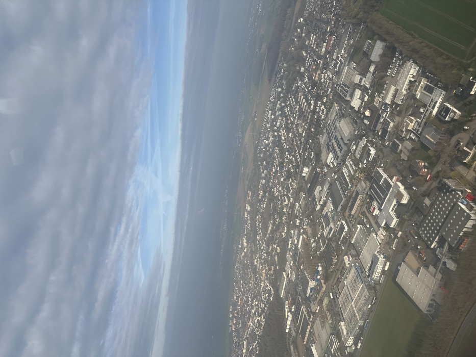
An aerial view from an aircraft depicts the eastern districts of Dortmund, Germany, likely in areas such as Aplerbeck or Sölde, transitioning into the rural landscape, with elements potentially extending towards the adjacent municipality of Holzwickede. The scene is observed under a partly cloudy sky with atmospheric haze. The lower two-thirds of the image feature a sprawling mixed-use landscape. In the immediate foreground and mid-ground, numerous industrial and commercial buildings with large, predominantly grey flat roofs are visible, several of which are equipped with photovoltaic solar panels. These structures are connected by a network of roads and are interspersed with tracts of bare deciduous trees. Adjacent to and interwoven with these industrial zones are dense residential areas, characterized by numerous smaller detached and semi-detached houses with dark, pitched roofs and lighter facades. Towards the mid-ground and background, the urban and suburban development gradually gives way to agricultural fields, some green and some fallow, and larger patches of woodland. The distant horizon is obscured by a visible atmospheric haze, causing the landscape to blend into the sky. The upper third of the image consists of a sky with layered, horizontally stratified grey clouds dominating the top portion. Below these, a distinct band of clearer blue sky is visible, featuring faint white contrails. The overall lighting suggests daytime conditions, and the absence of foliage on many trees indicates a season of late autumn, winter, or early spring. No individuals or specific vehicles are discernible from this altitude.
Loading AttnAds…
No transactions found