Stake attention in this memory
anticipation
guidance
journey
nighttime
focus
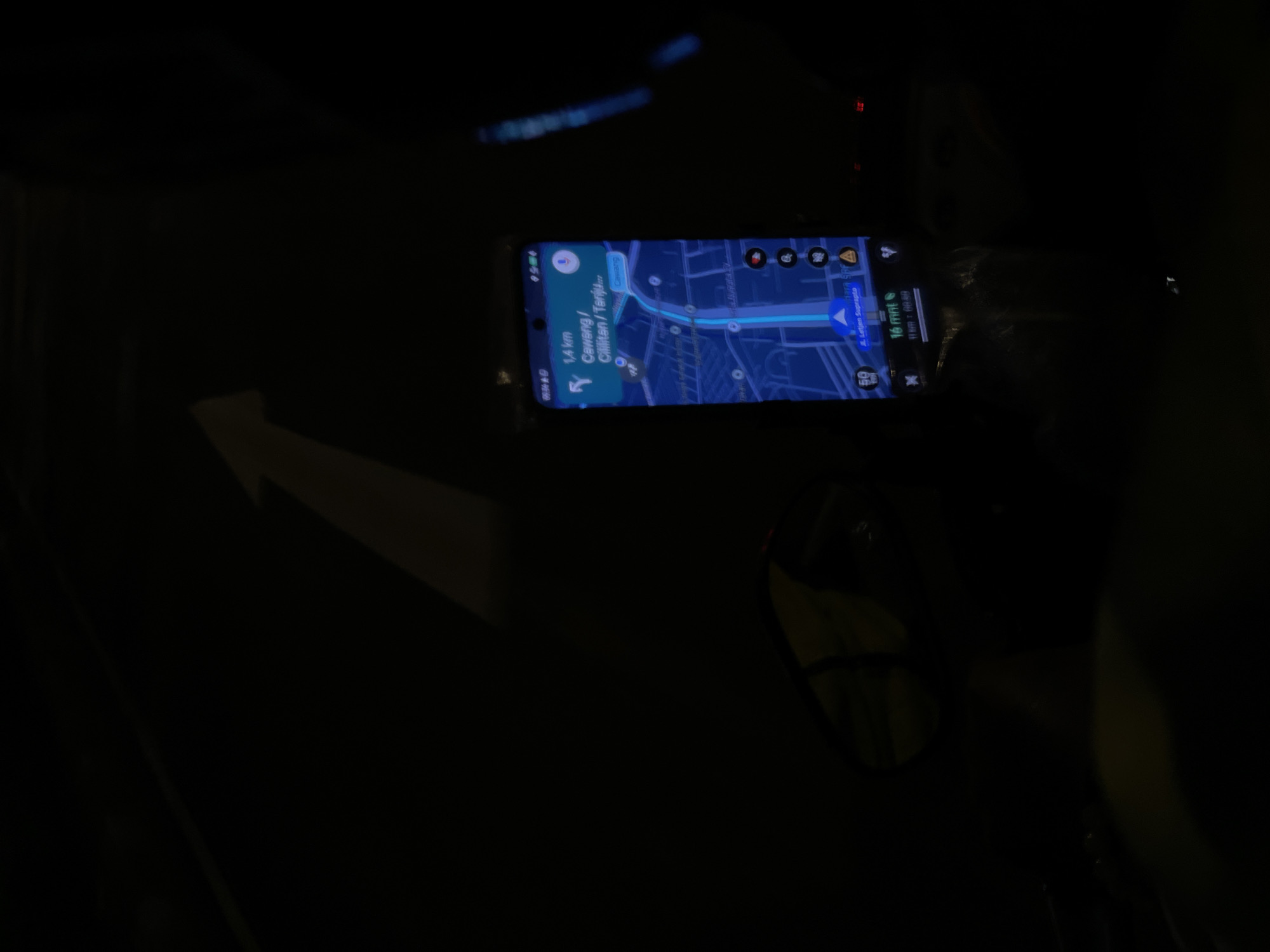
The image shows a smartphone displaying a map application, presumably Google Maps, in the dashboard area of a vehicle in Central Jakarta, Indonesia. The map indicates a route of 1.4 km to Cawang/Cililitan/Tanjung, estimated to take 16 minutes. The map is oriented with the top indicating north, showing a blue route guiding the driver along Jl. Letjen Suprapto. The vehicle's interior is dark, with only the smartphone screen illuminating the immediate vicinity, including the steering wheel and the driver-side mirror.
Loading AttnAds…
transactions
revenues
stakers
Earliest
Latest
Highest stake
No transactions found