
Sign in
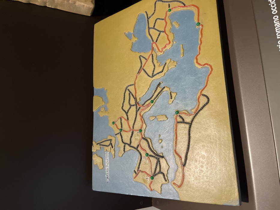
The image shows a tactile map of the Roman Empire, depicting its roads and boundaries. It is situated on a display stand in the Museo Nacional de Antropología, located at the coordinates 40.423, -3.689 in Madrid, Spain. The map is made of a textured material, with black, red, and green lines representing roads and boundaries. The map is set against a yellow background. The inscription "O. ATLANTICO" is visible in the top left corner. The map is part of an exhibit about the Roman Empire.  There are no people or objects in the image, other than the map itself.
FM-lnhCZ2

Apr 12, 2025, 2:14 PM

Madrid, Spain

Stake attention in this memory

Historical
Educational
Ancient
Nostalgic
Informative

The image shows a tactile map of the Roman Empire, depicting its roads and boundaries. It is situated on a display stand in the Museo Nacional de Antropología, located at the coordinates 40.423, -3.689 in Madrid, Spain. The map is made of a textured material, with black, red, and green lines representing roads and boundaries. The map is set against a yellow background. The inscription "O. ATLANTICO" is visible in the top left corner. The map is part of an exhibit about the Roman Empire. There are no people or objects in the image, other than the map itself.

Loading AttnAds…

transactions
revenues
stakers
Earliest
Latest
Highest stake

No transactions found

More from this user

More from Madrid

FM-lnhCZ2

Apr 12, 2025, 2:14 PM

Madrid, Spain

Licensed under Creative Commons Attribution 4.0 International License. You are free to share and adapt this content with proper attribution.