Stake attention in this memory
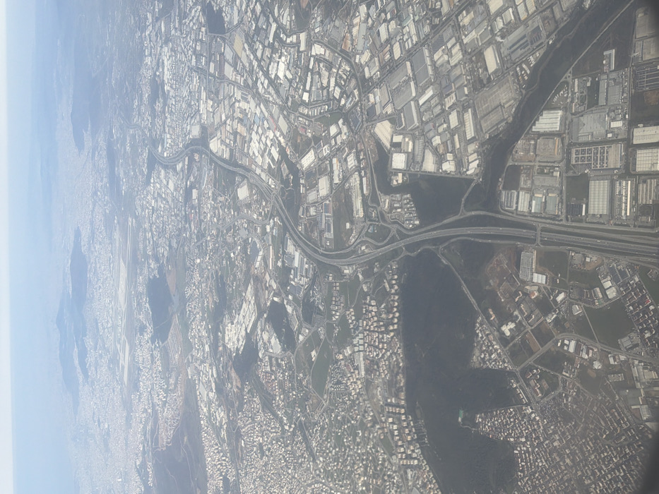
An aerial view of Gebze, Turkey, depicts a sprawling urban and industrial environment under a light hazy sky. A prominent multi-lane highway, identified as a segment of the O-4/E80, bisects the image diagonally, characterized by complex interchanges and visible vehicle traffic. To the left of the highway, dense residential zones consist of numerous light-colored, multi-story buildings. To the right, extensive industrial and commercial parks feature large, rectangular structures with light-colored roofs. In the upper-central distance, Sabiha Gökçen International Airport is visible, identifiable by its runways and terminal infrastructure. Irregular patches of dark green vegetation are interspersed throughout the developed areas. Individual human figures or specific interactions are not discernible.
No transactions found