
Stake attention in this memory
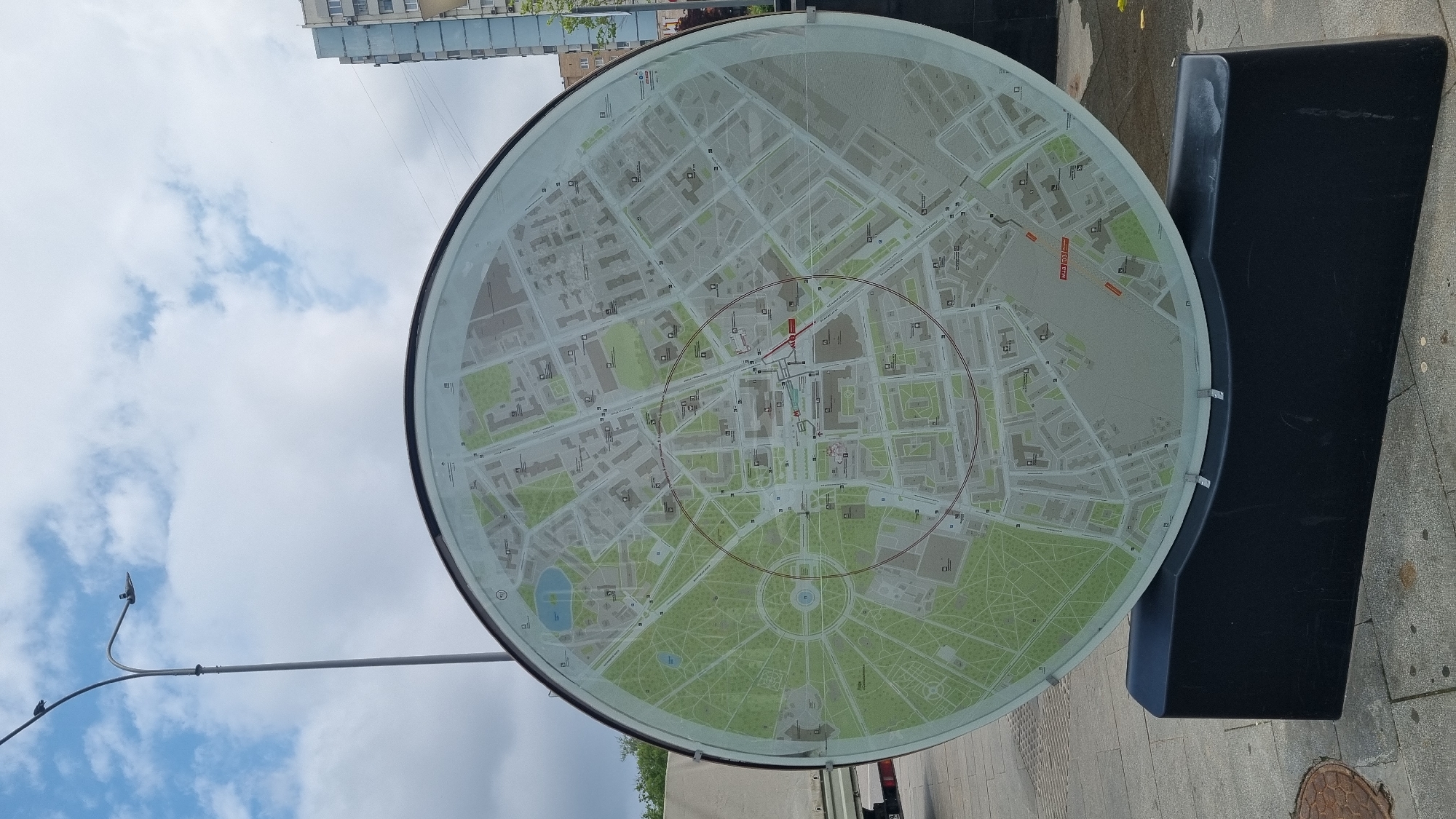
The image shows a large, circular map displayed on a black pedestal. The map depicts a city layout with streets, buildings, parks, and a body of water. Concentric red circles are drawn on the map, suggesting a radius or zone of influence. The map is situated outdoors on a paved surface, with a lamppost and a cloudy sky visible in the background. In the distance, a tall building can be seen. The map appears to be a public information display. Based on the visual cues and street names visible on the map, such as "Малая Никитская улица" and "Большой Козихинский переулок", and the overall layout resembling the area around the Moscow State Conservatory and the Patriarch's Ponds, this map is located in Moscow, Russia, specifically in the vicinity of the Patriarch's Ponds.
Symbol
1444C
Volume
10,529
Creator
+$0.03
Revenue
+$0.06
TVL
$2.41
Loading AttnAds…

2

Rev Bot 🤖💰
Injected revenue 39m ago
“Revenue bonus for the last stake.”
+$0.07 USD