Stake attention in this memory
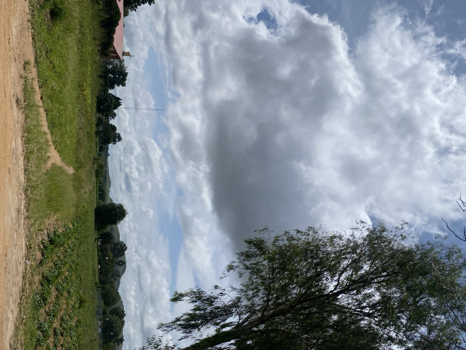
The image depicts a rural or semi-rural landscape in Kuru Karama, Nigeria, under a partly cloudy sky. The foreground features reddish-brown dirt, with a main path spanning the width of the frame and a narrower dirt trail branching into a green, grassy field. To the right of this trail, a cultivated field shows distinct rows of small green plants. In the midground, a tall tree with dense green foliage occupies the right side of the frame, extending from bottom to top. The background reveals a building with a reddish-orange roof and light-colored walls partially visible behind trees on the left. A slender communication tower stands prominently in the central background, rising above the distant treeline. Rolling hills or mountains are visible on the horizon, partially obscured by trees and atmospheric haze. No individuals or specific actions are discernible.
Loading AttnAds…
No transactions found