Stake attention in this memory
excitement
anticipation
curiosity
adventure
discovery
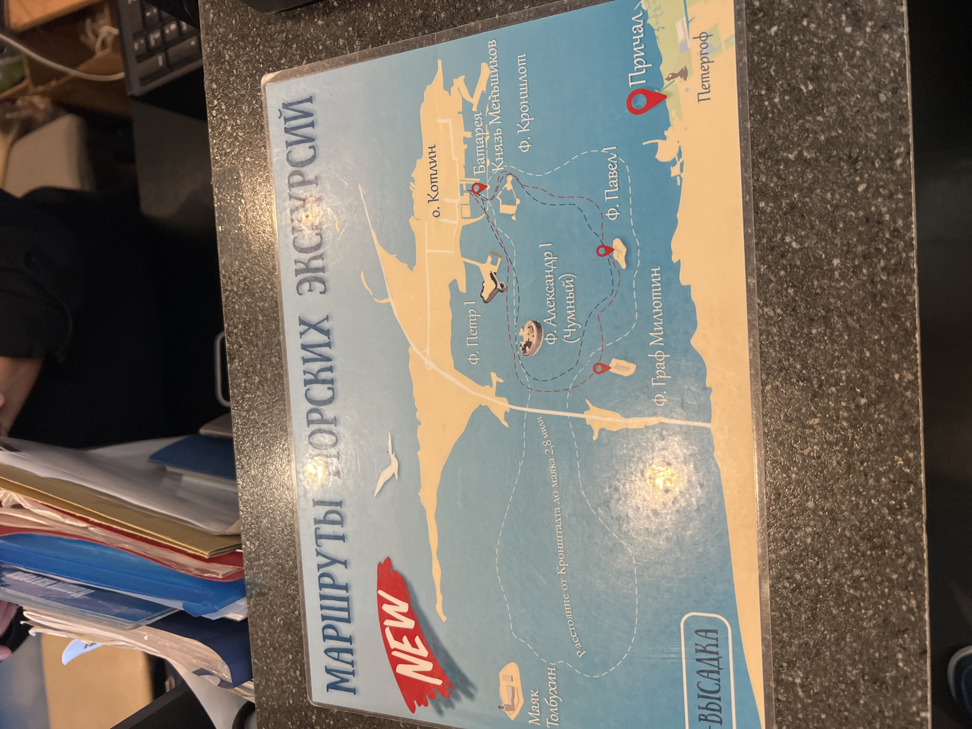
The image shows a map with a title in Russian that translates to "Sea Excursion Routes". The map depicts various islands, forts, and locations, likely in the vicinity of Kronstadt, Russia. Key locations marked include "Fort Peter I", "Fort Alexander I (Chumny)", "Fort Menshikov", "Fort Kronshlot", "Cape Kotlin", "Graf Million", "Tolbukhin Lighthouse", and "Pier Peterhof". A red marker indicates "Pier" (Причал). The map also shows a dotted line indicating a route, with a label mentioning "Distance from Kronstadt to lighthouse 2.8 miles". There is a red "NEW" tag on the top left corner of the map. The map is placed on a dark, speckled countertop.
transactions
revenues
stakers
Earliest
Latest
Highest stake
No transactions found