Stake attention in this memory
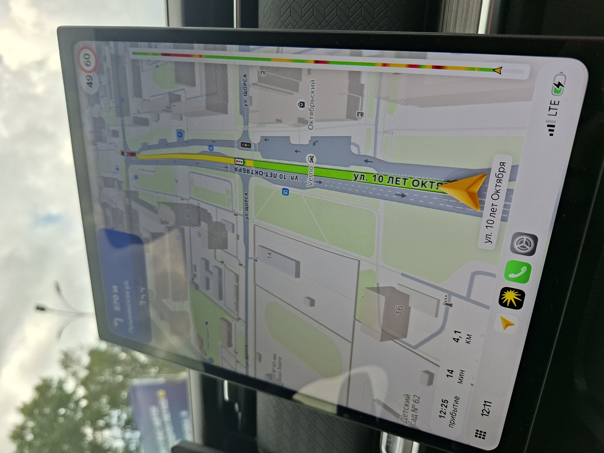
This is a media file showing a car's GPS navigation screen, displaying a map of Izhevsk, Russia. The screen is mounted in a vehicle, indicated by the blurry background outside the car's window, which shows trees and sky, suggesting it's daytime. The navigation system is guiding the user to a destination, with a yellow arrow indicating the current route and a prominent yellow arrow at the destination point. The map shows street names in Russian, including "ул. ЩОРСА" (Shchorsa Street), "ул. 10 ЛЕТ ОКТЯБРЯ" (10 Years of October Street), and "Октябрьский" (Oktyabrsky). It also displays building numbers like "14" and "16", and a "Детский сад № 62" (Kindergarten No. 62). The screen shows traffic conditions with a colored bar at the top, indicating varying levels of congestion. Visible text on the screen includes: - "49 60" (likely speed limit information) - "7 570 M" (distance to destination) - "12:25 прибытие" (estimated arrival time) - "14 мин" (estimated travel time in minutes) - "4,1 KM" (distance in kilometers) - "12:11" (current time) - "LTE" and a signal strength indicator, along with a battery icon. Icons on the screen suggest communication options like a phone call, and a settings gear. There's also an icon with a starburst, possibly related to points of interest or navigation modes. The overall scene is functional and informative, focused on providing navigation assistance to the driver.
Loading AttnAds…
No transactions found