Stake attention in this memory
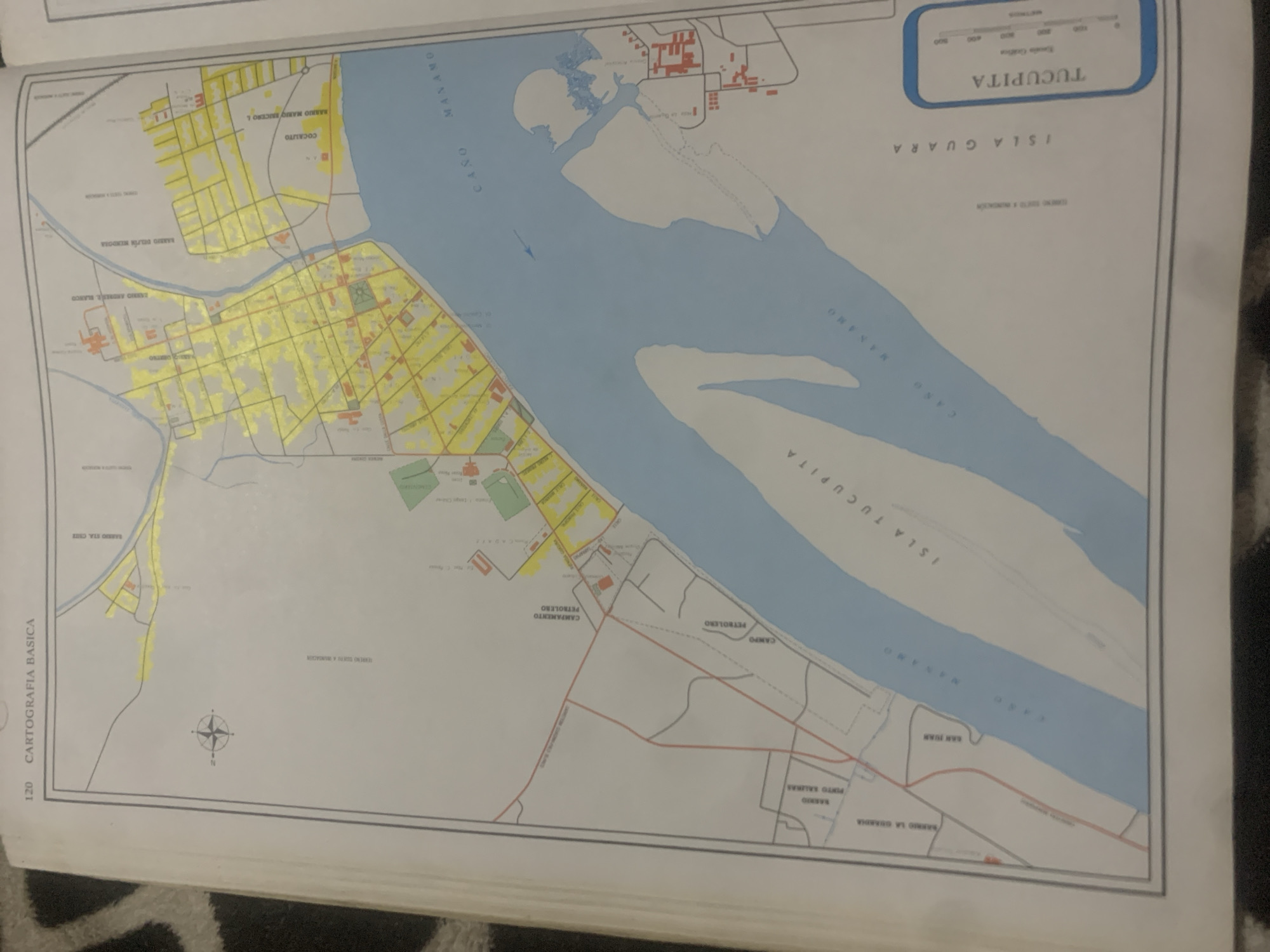
The image is a map of the city of Tucupita, Venezuela, situated on the eastern side of the Caño Manamo. The map depicts the urban layout with streets, buildings, and a river. Several neighborhoods are labeled, including Barrio El Tigre, Barrio Delfín Mendoza, and Cocallito. The map also indicates a "Campamento Petrolero" (oil camp) and "Campo Petrolero" (oil field), suggesting the presence of oil industry activities in the area. A compass rose is visible in the upper left corner, indicating north. The map includes a scale bar for measuring distances. The overall scene is that of a cartographic representation of a Venezuelan city with its surrounding geographical features.
Symbol
14DC0
Volume
0
Creator
+$0.03
Revenue
+$0.00
TVL
$0.00
Loading AttnAds…

2

Rev Bot 🤖💰
Injected revenue 2mo ago
“Revenue bonus for the last stake.”
+$0.06 USD





