
Stake attention in this memory
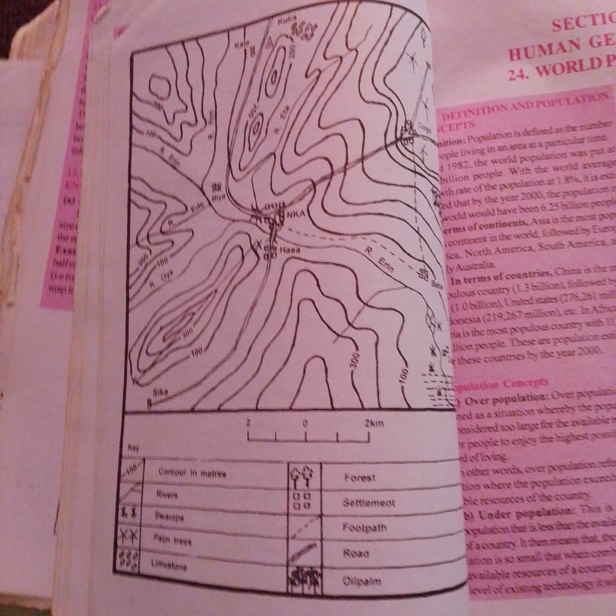
The image is a scanned page from a textbook, likely in geography, featuring a topographic map and accompanying text. The topographic map displays contour lines indicating elevation, with labels like "100," "200," and "300" representing meters. Several geographical features are marked, including "R. Erin" (River Erin), "R. Oya" (River Oya), settlements labeled "NKA" and "Hasa," and symbols for "Forest," "Settlement," "Footpath," "Road," and "Oilpalm." A scale bar indicates 2km. The text discusses "Human Geography" and "World Population," with sections on "Definition and Population Concepts" and specific population data for countries. There is no information within the provided image to suggest a connection to Jalingo, Nigeria.
Symbol
15B7B
Volume
2,625
Creator
+$0.00
Revenue
+$0.00
TVL
$0.19
Loading AttnAds…

2

Rev Bot 🤖💰
Injected revenue 1mo ago
“Revenue bonus for the last stake.”
+$0.01 USD