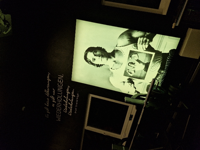
Stake attention in this memory
Confusion
Curiosity
Exploration
Nostalgia
Planning
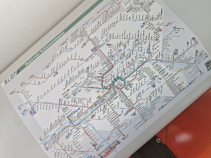
A printed "Regionaler Schienennetzplan" (Regional Rail Network Map) is displayed, oriented diagonally from the upper-left to the lower-right. The map features a white background with multi-colored lines representing various rail routes and black text identifying stations. The city of Niedernhausen, Germany, is visible as a station on the light blue S2 line, located in the central-left portion of the map. A section of an orange surface, possibly part of a train or station interior, is partially visible in the bottom-left corner, along with a small black circular object. No individuals are present.
transactions
revenues
stakers
Earliest
Latest
Highest stake
No transactions found