
Stake attention in this memory
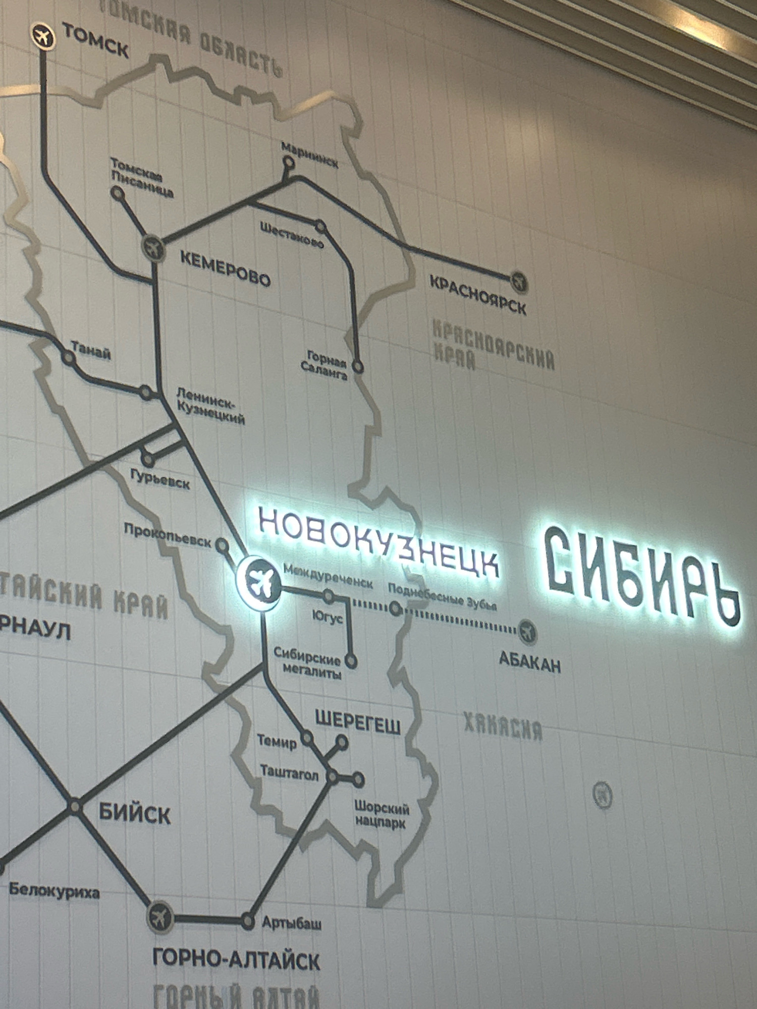
The image displays a map on a wall, likely in a public space, indicating transportation routes within Russia. Prominently featured are illuminated city names such as "НОВОКУЗНЕЦК" (Novokuznetsk) and "СИБИРЬ" (Siberia). Various other cities are marked on the map with connecting lines representing routes, including Tomsk, Kemerovo, Barnaul, Biysk, and Abakan. There are also airport symbols at some locations. The map appears to be a stylized representation of geographical areas and infrastructure. The location of Prokopyevsk, Russia, is visible on the map as a city connected by a route to other settlements. The overall environment suggests an indoor setting with soft lighting. There are no people or active events depicted.
Loading AttnAds…
No transactions found