
Stake attention in this memory
historical
antique
vintage
nostalgic
intriguing
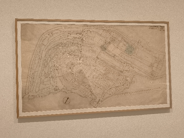
The image shows a framed map of the Colonia Praetoria, a Roman settlement in the city of Madrid, Spain. The map is drawn in black ink on a beige sheet of paper and is framed in a natural wood frame. The coordinates 40.408, -3.694 place the scene in the center of the city of Madrid, Spain. The map depicts the layout of the Roman settlement with detailed outlines of buildings, streets, and the surrounding terrain. The lower right corner of the map has a small inscription in Spanish, “COLONIA PRAETORIA - TRIPOLI- NUMANTIA - 1854.” The map is displayed on a beige wall. The map is not currently being used or interacted with. There are no people present.
Loading AttnAds…
transactions
revenues
stakers
Earliest
Latest
Highest stake
No transactions found