Sign in
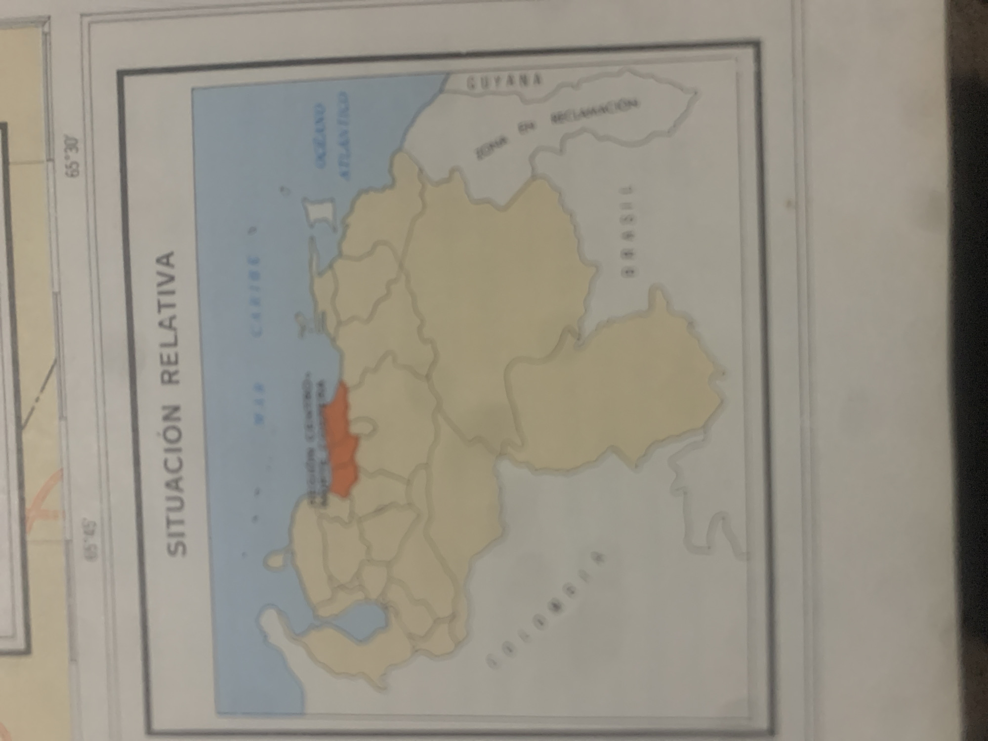
The image displays a map with the title "SITUACIÓN RELATIVA" written vertically on the left side. The map shows the outline of Venezuela and its surrounding regions. The dominant colors are light yellow for the landmasses and light blue for the bodies of water, specifically the "OCÉANO ATLÁNTICO" and the "MAR CARIBE".

Notable geographical features labeled on the map include "GUYANA", "BRASIL", and "COLOMBIA", indicating neighboring countries. There is also a region marked as "ZONA EN RECLAMACIÓN", suggesting a disputed territory. Within Venezuela, a specific region is highlighted in orange, and text above it reads "REGIÓN CENTRO OCCIDENTAL".

The map has coordinate markings on the left edge, with "65° 45'" at the bottom and "65° 30'" higher up. The overall presentation is that of a political or geographical map, likely used for educational or informational purposes. There are no people or specific events depicted, only the static representation of geographical and political boundaries. The image is a photograph of the map, and there are some light reflections and slight blurring, indicating it was captured from a distance or at an angle. The context provided indicates the location as La Tagua, Venezuela, which is likely a relevant point of reference for the map's content.
bombolico

Jun 25, 2026, 2:44 PM

La Tagua, Venezuela

BLOCKED

Stake attention in this memory

academic
analytical
formal
objective
nostalgic

The image displays a map with the title "SITUACIÓN RELATIVA" written vertically on the left side. The map shows the outline of Venezuela and its surrounding regions. The dominant colors are light yellow for the landmasses and light blue for the bodies of water, specifically the "OCÉANO ATLÁNTICO" and the "MAR CARIBE". Notable geographical features labeled on the map include "GUYANA", "BRASIL", and "COLOMBIA", indicating neighboring countries. There is also a region marked as "ZONA EN RECLAMACIÓN", suggesting a disputed territory. Within Venezuela, a specific region is highlighted in orange, and text above it reads "REGIÓN CENTRO OCCIDENTAL". The map has coordinate markings on the left edge, with "65° 45'" at the bottom and "65° 30'" higher up. The overall presentation is that of a political or geographical map, likely used for educational or informational purposes. There are no people or specific events depicted, only the static representation of geographical and political boundaries. The image is a photograph of the map, and there are some light reflections and slight blurring, indicating it was captured from a distance or at an angle. The context provided indicates the location as La Tagua, Venezuela, which is likely a relevant point of reference for the map's content.

Symbol

16D20

Volume

0

Creator

+$0.09

Revenue

+$0.00

TVL

$0.00

1D
1W
1M
All

Loading AttnAds…

transactions
revenues
stakers
Earliest
Latest
Highest stake

1

Ramón

Staked 10d ago
Redeemed 9d ago

$7.23 USD

+$0.05 USD

Fee: $0.07 (1%)

+0.7%

2

Rev Bot 🤖💰

Injected revenue 10d ago

Revenue bonus for the last stake.

+$0.22 USD

More from this user

More from La Tagua

bombolico

Jun 25, 2026, 2:44 PM

La Tagua, Venezuela

Licensed under Creative Commons Attribution 4.0 International License. You are free to share and adapt this content with proper attribution.





