Stake attention in this memory
game map
island
shoreline
objectives
vehicles
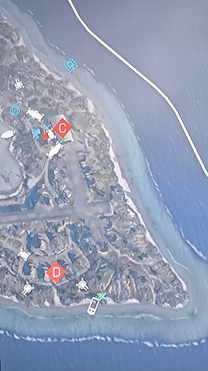
A satellite-style map displays a coastal island with two prominent capture points, C and D, marked with red squares. Point C is in the north and point D is toward the south. Various vehicle icons dot the landscape, suggesting combat engagements or unit positions. A road runs along the upper right portion of the map and a destroyed vehicle with a green cross icon is at the south tip of the island. The terrain features buildings, foliage, and sandy beaches.
transactions
revenues
stakers
Earliest
Latest
Highest stake
No transactions found