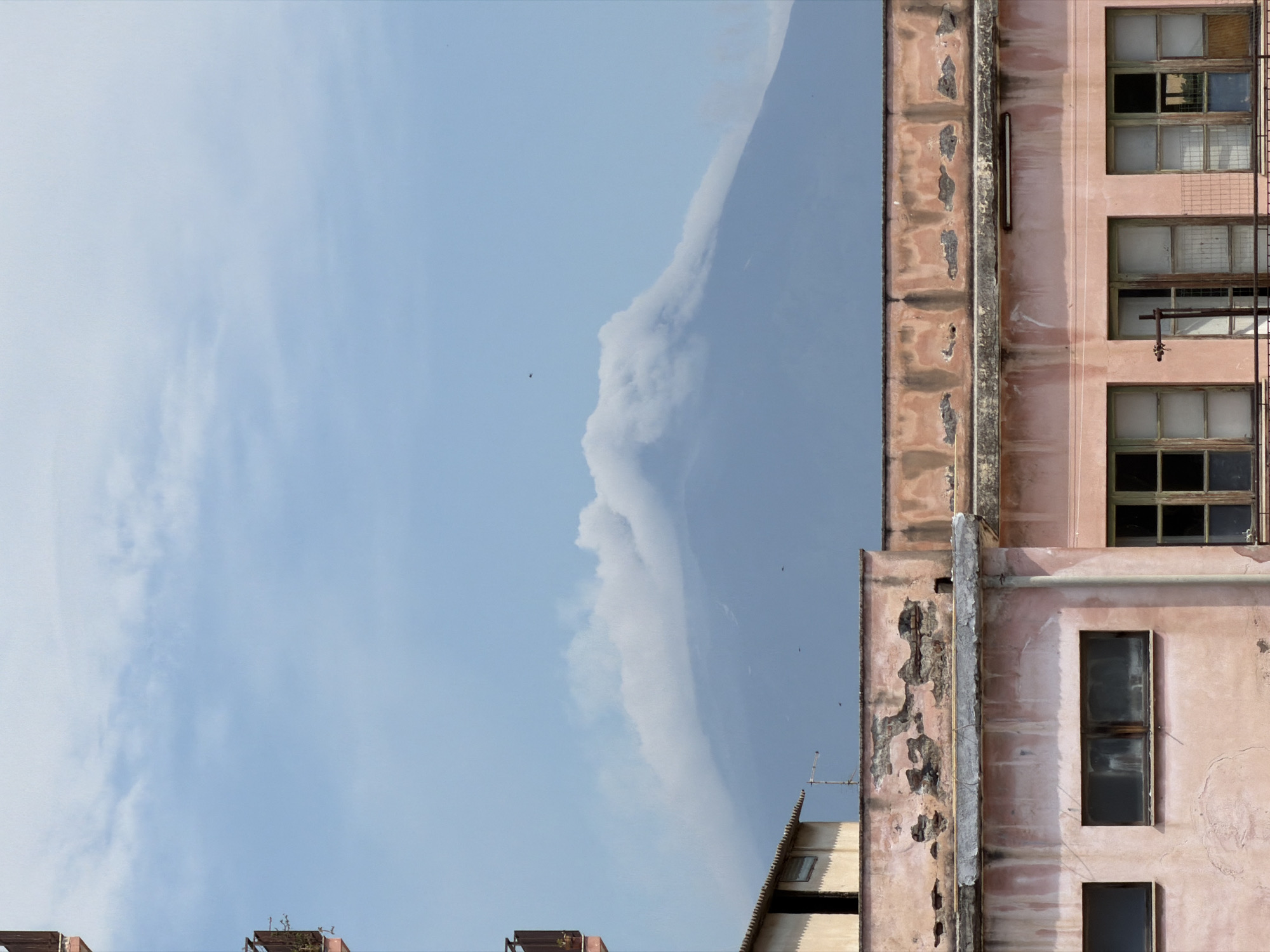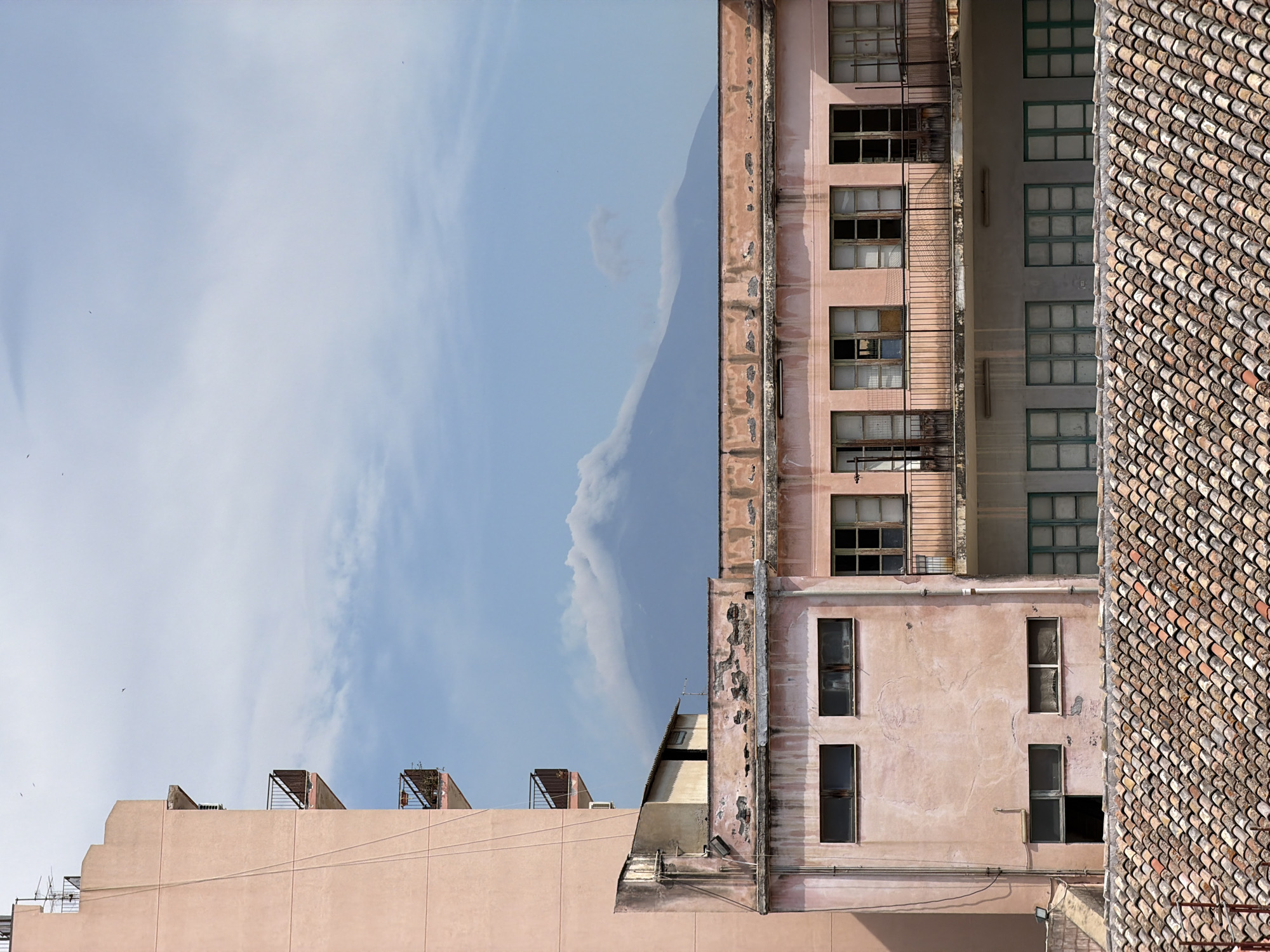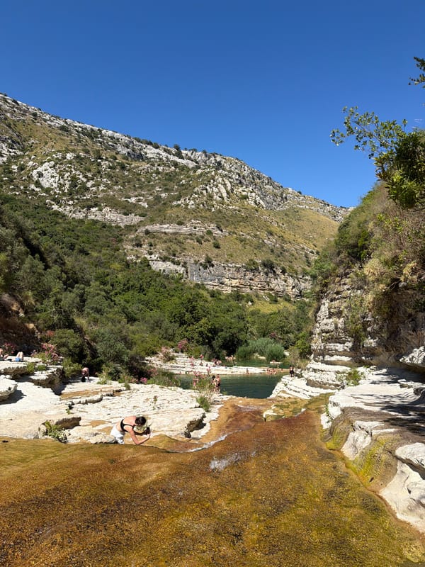
Stake attention in this memory
anticipation
journey
progress
navigation
optimism
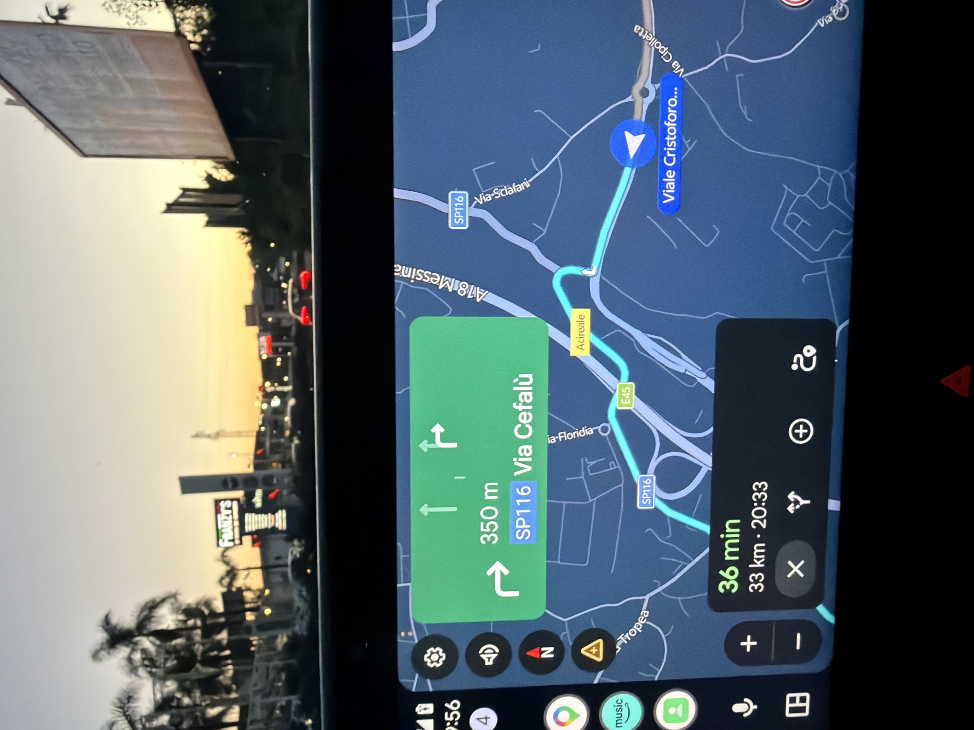
The image depicts a car's dashboard screen displaying a Google Maps navigation interface, indicating a route to Via Cefalù, a destination 350 meters away. The route is being navigated in Acireale, Italy. The screen also shows an estimated travel time of 36 minutes and a distance of 33 kilometers. The road network visible on the map includes SP116, A18 Messina, Viale Cristoforo and E45. The time on the dashboard is 9:56 PM and the estimated arrival time is 8:33 PM. Visible through the windshield is the street view of Acireale at sunset, where a Franzy’s shop sign can be seen.
transactions
revenues
stakers
Earliest
Latest
Highest stake
No transactions found