Stake attention in this memory
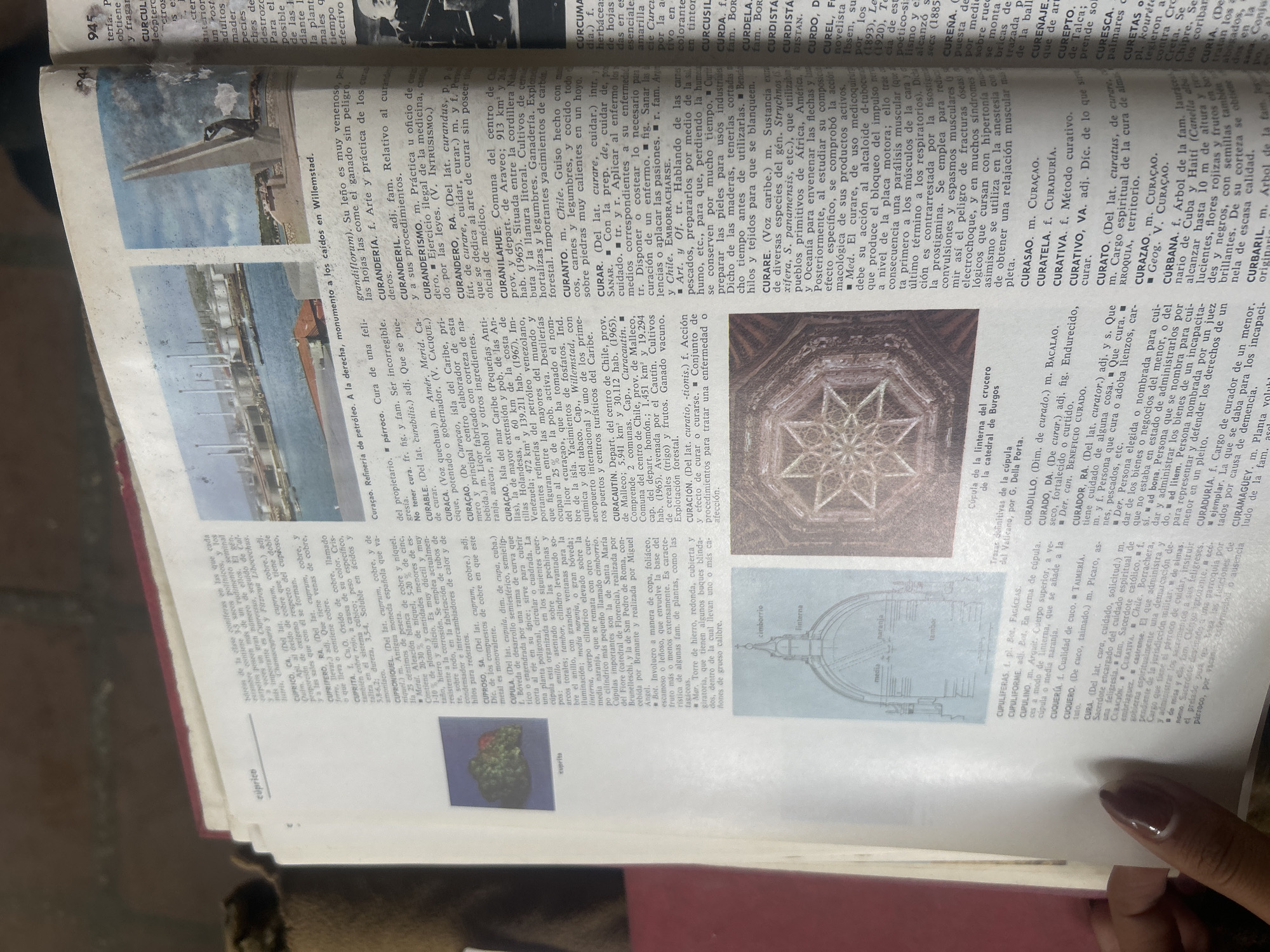
The image shows an open dictionary with two photographs. The left photograph depicts a refinery with multiple towers and pipelines. The right photograph shows a monument with a statue at the top, set against a backdrop of the sky and some buildings. Below the monument photograph, text reads "a la derecha, monumento a los caídos en Willemstad". The dictionary entries are in Spanish and include words like "curar", "curandero", and "curación". One entry for "CURAÇAO" mentions "la isla del Caribe", "prov. de Venezuela", and "de 472 km² y 170.000 pobl.". It describes the island as having extensive plains and a humid, hot climate with forestal plantations. Another entry for "CURAÇAO" (under "CURAÇAUTÍN") mentions that it is a municipality in the province of Santa Ana, Venezuela, with an area of 913 km² and a population of 26,900, situated between the Cordillera Ne-hab and the littoral. A third entry for "CURANILAHUE" describes it as a commune in the province of Arauco, Chile, with an area of 913 km² and a population of 26,900. The image also contains a diagram of a dome with labels like "linterna", "media naranja", and "tambor", likely related to architectural terms.
No transactions found