Stake attention in this memory
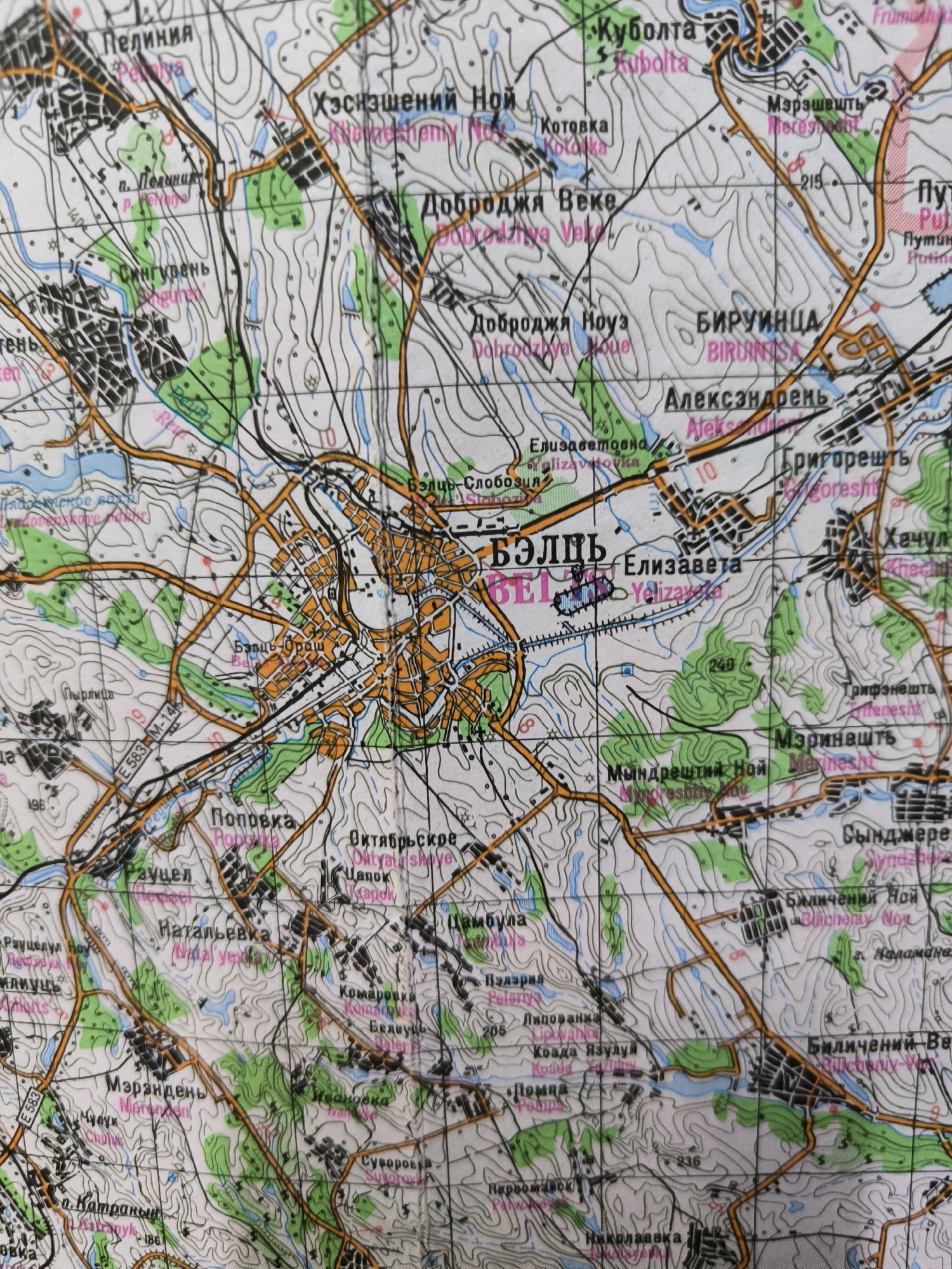
The image is a topographic map featuring Cyrillic and Latin place names. The map displays contour lines indicating elevation, bodies of water depicted in blue, urban areas in orange, and green areas suggesting vegetation or parks. Roads are shown as orange lines, with some labeled with route numbers like E 583 and M-14. The central focus of the map appears to be an urban area labeled "БЭЛЦЬ" (BEL'TS) in large Cyrillic lettering, with its Latin transliteration "BEL'TS" also present. This city is divided by a river or canal. Surrounding this central city are smaller towns and villages identified by names such as "Пелиния" (Pelyniya), "Куболта" (Kubolta), "Доброджя Веке" (Dobrozhya Veke), "Бируинца" (Biruinitsa), "Александрень" (Alexandren'), "Григонешть" (Grigoresht), "Хачул" (Khachul), "Мэренешть" (Meresht), "Октябрьское" (Oktyabr'skoye), "Поповка" (Popovka), "Наталыевка" (Natolyevka), "Комаровка" (Komarovka), "Липованка" (Lipovanka), "Помра" (Pomra), and "Николаевка" (Nikolayevka). The map includes elevation markers such as "215" and "249". The overall impression is a detailed geographical representation of a region with a significant urban center and its surrounding rural settlements, likely used for navigation or planning. The prompt's request to identify the location within Chișinău, Moldova, cannot be directly fulfilled as the map clearly depicts "BEL'TS," which is a major city in Moldova but is not located within Chișinău. Chișinău itself is the capital of Moldova and is a separate urban center.
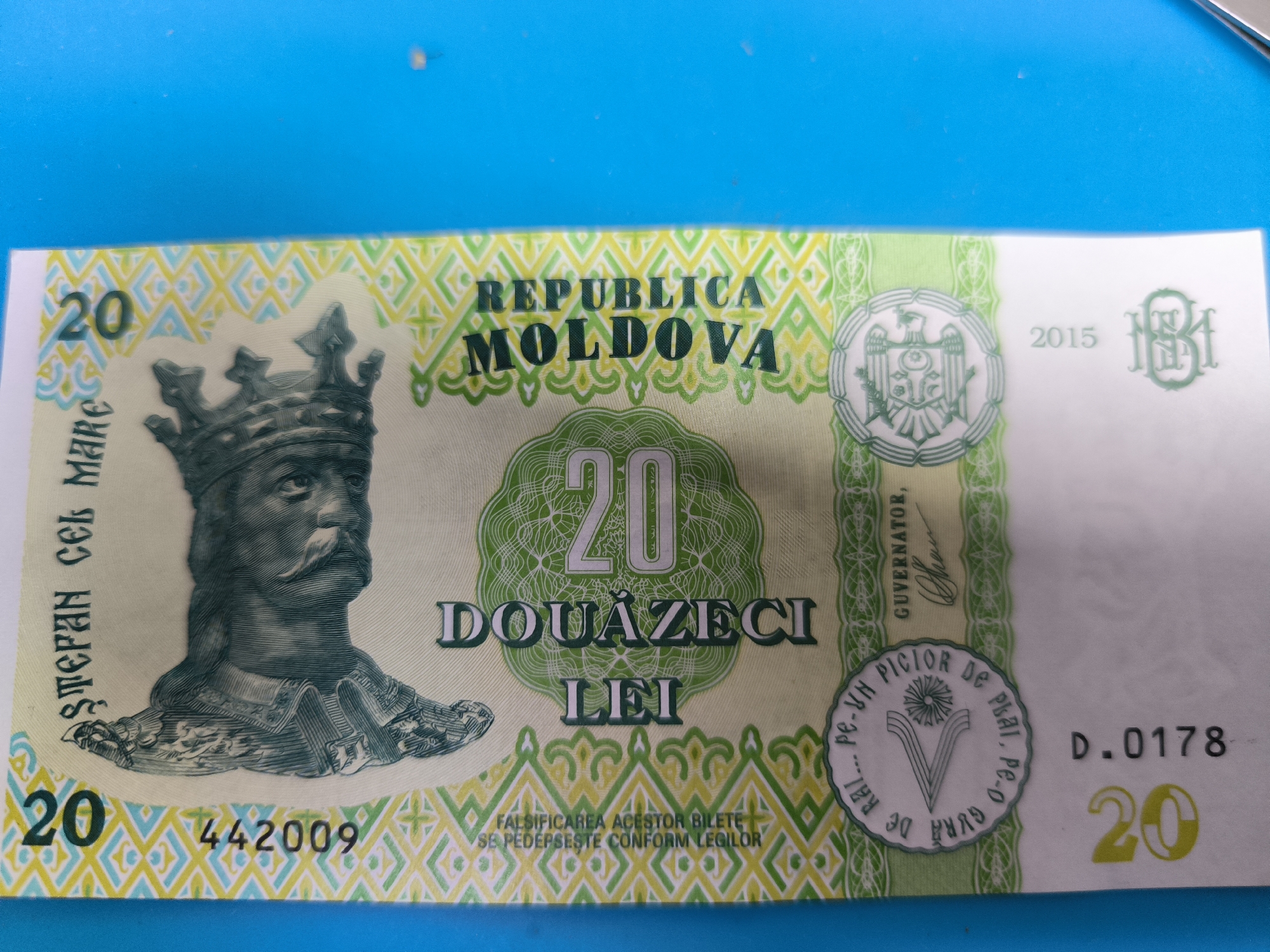
No transactions found