Stake attention in this memory
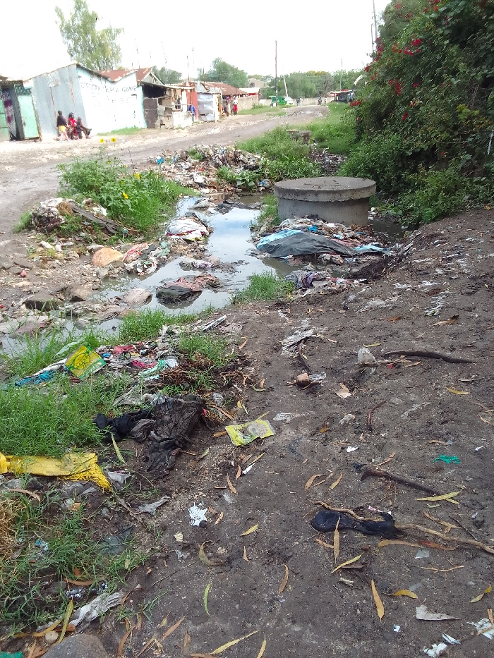
The image shows a scene of severe garbage accumulation and environmental neglect in Athi River, Kenya. The coordinates, -1.457 latitude and 36.981 longitude, pinpoint the location to a dirt path. The path is lined with dense foliage and appears to run through a residential area. A concrete manhole sits in the path, surrounded by a substantial quantity of garbage and debris. The garbage consists primarily of plastic bags, cloth scraps, and unidentified food waste. A stream of stagnant, murky water, filled with discarded items, flows from left to right, originating from a narrow dirt path leading into the frame. Several large green bushes line the path, and an unpaved road runs along the top edge of the frame, further indicating a residential setting. There are no people present.
No transactions found