Stake attention in this memory
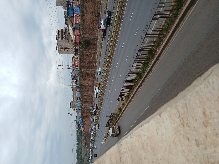
The image depicts an elevated view of a multi-lane asphalt highway within Witeithie ward, Kenya, under an overcast sky. In the foreground, a concrete barrier delineates the vantage point. The highway consists of a dual carriageway, with multiple lanes separated by a central reservation featuring a black metal fence topped with razor wire and sparse vegetation. Moderate to heavy traffic is present, comprising various passenger vehicles, white vans (consistent with public service matatus), and a black flatbed tow truck transporting a vehicle in the far right lane. Traffic flow appears congested in the lanes moving away from the viewer. Parallel to the highway on the right, a prominent reddish-brown earthen embankment supports a dense collection of structures. These include several multi-story concrete block buildings, some appearing incomplete, and a lengthy series of colorful shipping containers. Overhead utility poles and power lines traverse the scene above the structures. Distant hills or elevated terrain are visible on the horizon to the far left. No individuals are discernibly present.
No transactions found