
Stake attention in this memory
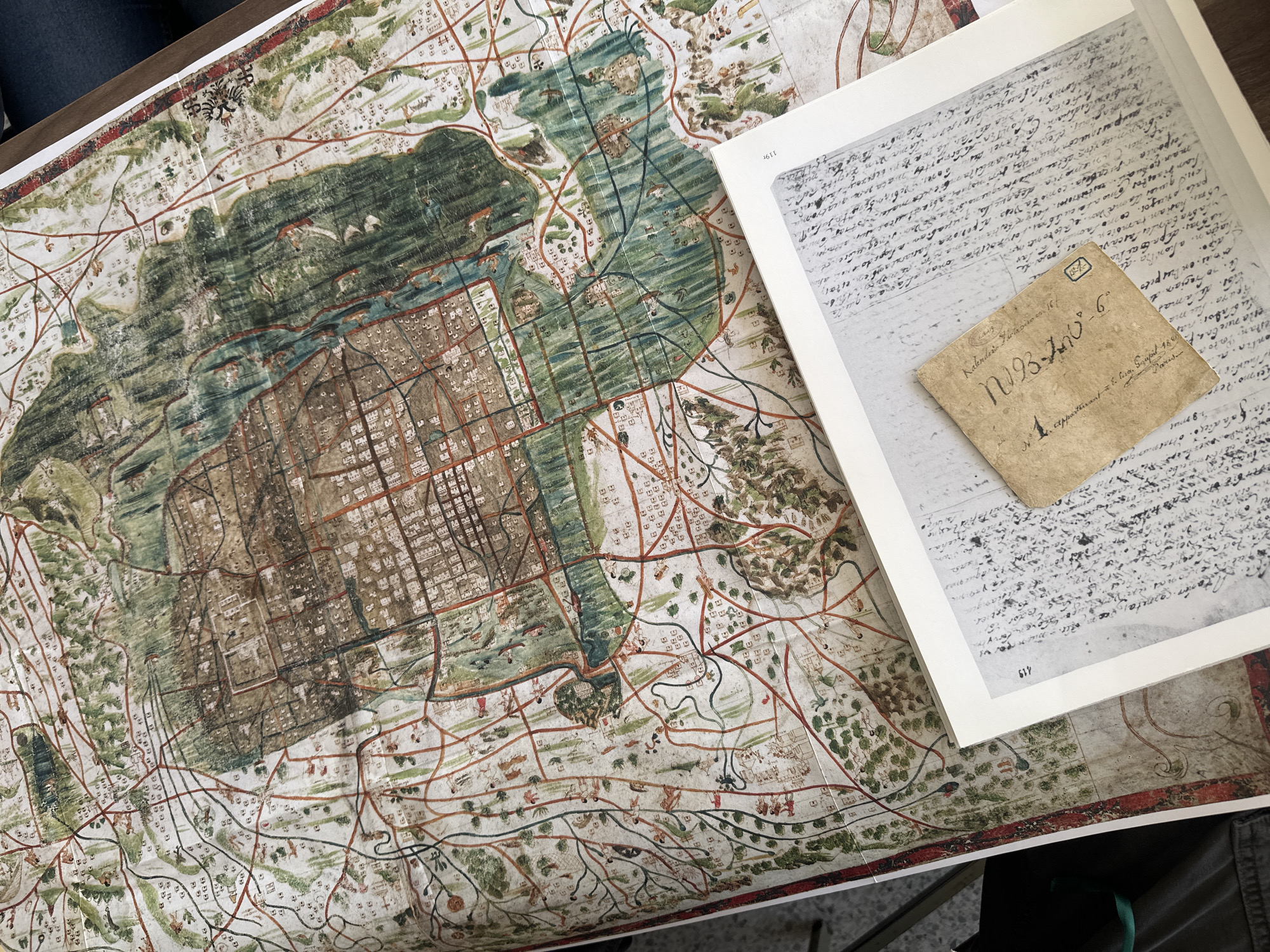
This media file captures an overhead view of a large, intricately detailed historical map, likely a reproduction, laid out on a surface, accompanied by an open book displaying archival documents. The scene suggests an activity of historical research or examination. The map dominates the left side of the frame, showcasing a sophisticated urban grid, typical of historical Mexico City/Tenochtitlan, surrounded by expansive natural elements including waterways (possibly lakes or canals) and richly depicted landscapes with trees and scattered buildings. The coloration is muted, with greens, browns, and hints of red for pathways, giving it an antique appearance. A decorative crest or emblem is visible in the upper left corner of the map. To the right, an open book reveals a page displaying an image of a historical handwritten manuscript in an old script, possibly Spanish or Latin. Page numbers "119" and "119r" are visible on this page. Overlying this document in the book is a small, aged, and discolored piece of paper, likely a historical tag or note. This tag features prominent handwritten text including "N093-700-6", "Kalenderio Fertaviso en 16-", and partially visible "appartenant a E. Eur. Soupil 187". A small rectangular stamp containing what appears to be "JN" or "BN" is also visible on this tag. The context points to a focus on the history and geography of Mexico City. Visible text, particularly from the small tag, aids in dating or cataloging the documents. The overall arrangement suggests careful study of historical records and cartography.
Loading AttnAds…
No transactions found