Stake attention in this memory
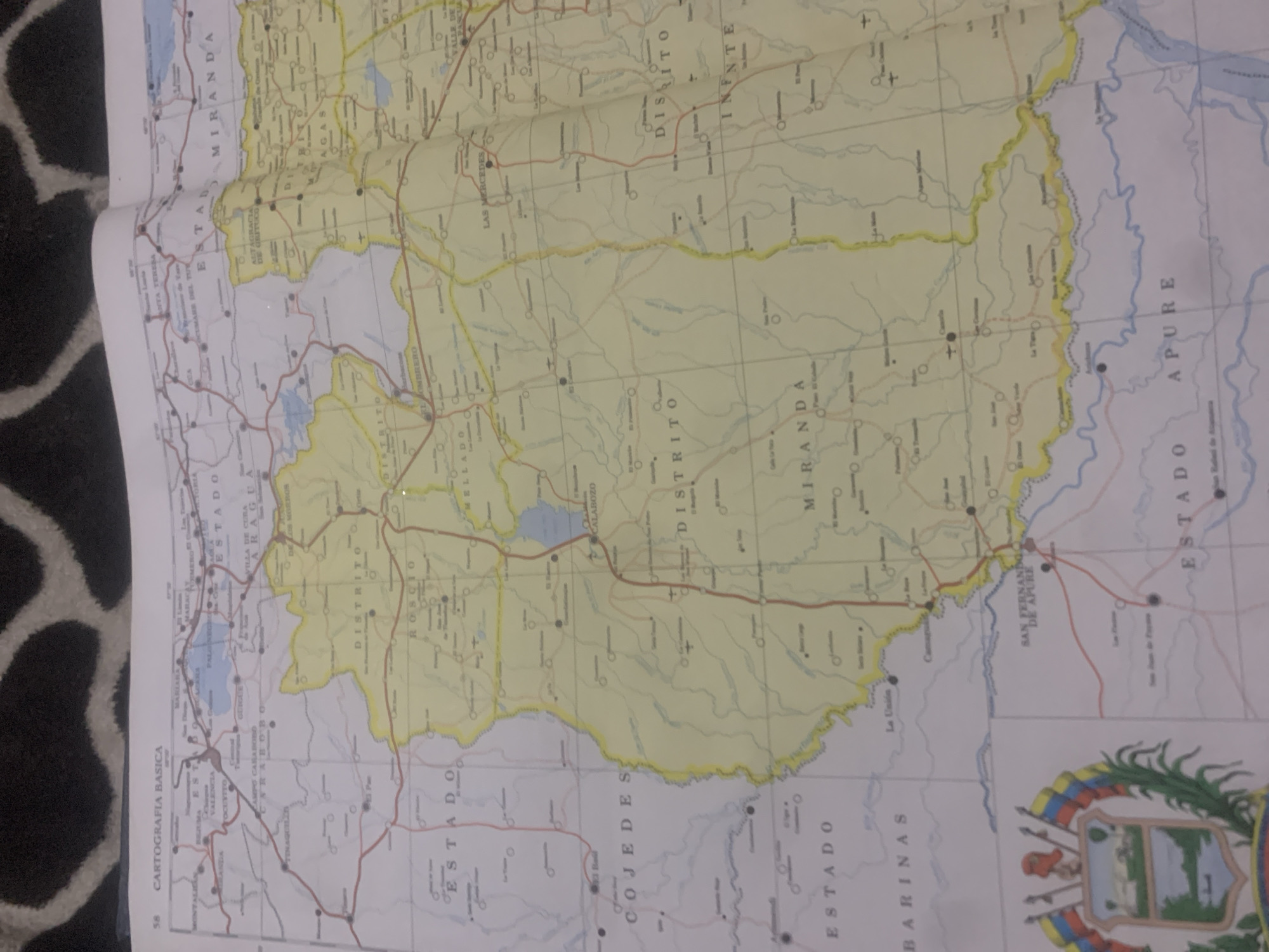
The image displays a portion of a map of Venezuela, featuring various states and districts. Prominently visible are the states of MIRANDA, COJEDES, and BARINAS, along with parts of APURE. Several towns and cities are marked, including ESTADO, ROSCIO, and M E L L A D O. A river system is also depicted, with bodies of water labeled. The map is in color, with yellow highlighting indicating certain regions, and red lines representing roads. In the lower left corner, a portion of the Venezuelan coat of arms is visible, featuring a shield with images of a landscape, a horse, and agricultural elements, flanked by a branch of leaves and a bundle of wheat. The map is overlaid on a textured background, possibly a table or surface. The location of La Tagua, Venezuela is not explicitly visible or identifiable within the provided map segment.
Symbol
1B588
Volume
0
Creator
+$0.03
Revenue
+$0.00
TVL
$0.00
Loading AttnAds…

2

Rev Bot 🤖💰
Injected revenue 2mo ago
“Revenue bonus for the last stake.”
+$0.05 USD





