
Stake attention in this memory
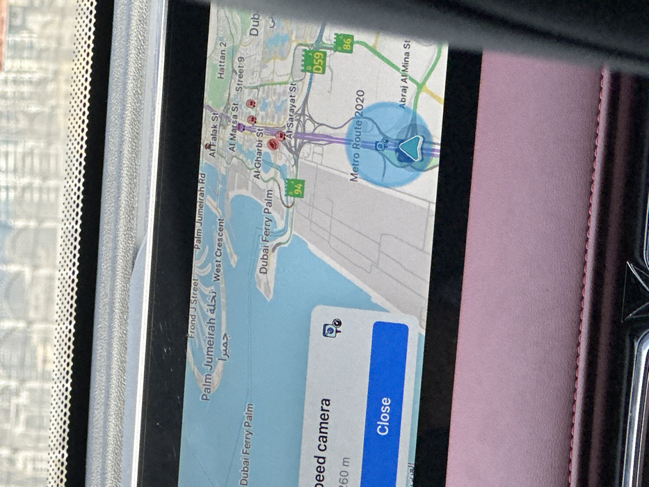
The image shows a map navigation screen inside a car in Dubai, United Arab Emirates. The location on the map is marked as "Metro Route 2020", close to the intersection of Al Gharibi Street and Al Sarayat Street, in the vicinity of Dubai Ferry Palm. The screen displays a notification for a speed camera located 260 meters away. There is a blue circle on the map indicating the current location of the car, pointing toward the location marked as "Metro Route 2020". The screen also displays various roads and landmarks in the area, including Palm Jumeirah Rd, West Crescent, Al Falak St, Al Marsa St, Hattan 2, and Abraj Al Mina St. The screen has buttons for "Close" and "Speed Camera". The image shows a view of a car's dashboard with a navigation screen displaying the location of the car on a map.
Symbol
1D882
Volume
5,100
Creator
+$0.01
Revenue
+$0.00
TVL
$0.60
Loading AttnAds…