Stake attention in this memory
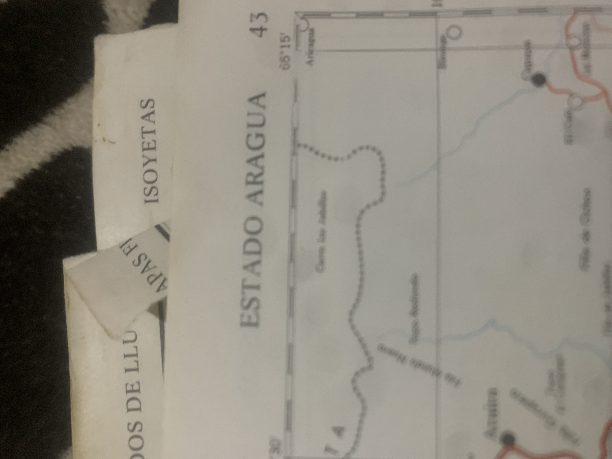
This is a close-up, low-angle, vertical shot of a map. The map is spread out on a black and white striped surface, possibly a rug or blanket. The image is primarily composed of paper with printed text and lines representing geographical features. The main visible text on the map includes "ESTADO ARAGUA" which translates to Aragua State, and "ISOYETAS" likely referring to isohyets or lines of equal rainfall. There are also coordinates visible, "66°15'" and a number "43". Various place names are present, such as "Aricaqua" and "Vita Munde Nuevo". Dotted lines suggest boundaries or trails, and solid lines appear to represent rivers or roads. There are also small circles indicating settlements or points of interest. Part of another document or label is visible on the left side, with text that reads "DOS DE LLU" and "APAS FI". This suggests the map may be part of a larger atlas or document, or perhaps is being used in conjunction with other papers. The lighting appears to be artificial and somewhat dim, with a slight yellow cast. No people or animals are visible. The overall scene is static, focusing on the details of the map and its immediate surroundings. The image's rotation suggests the map is oriented vertically within the frame.
Symbol
1E217
Volume
11,550
Creator
+$0.13
Revenue
+$0.17
TVL
$11.54
2
Rev Bot 🤖💰
Injected revenue 6d ago
“Revenue bonus for the last stake.”
+$0.18 USD