Sign in
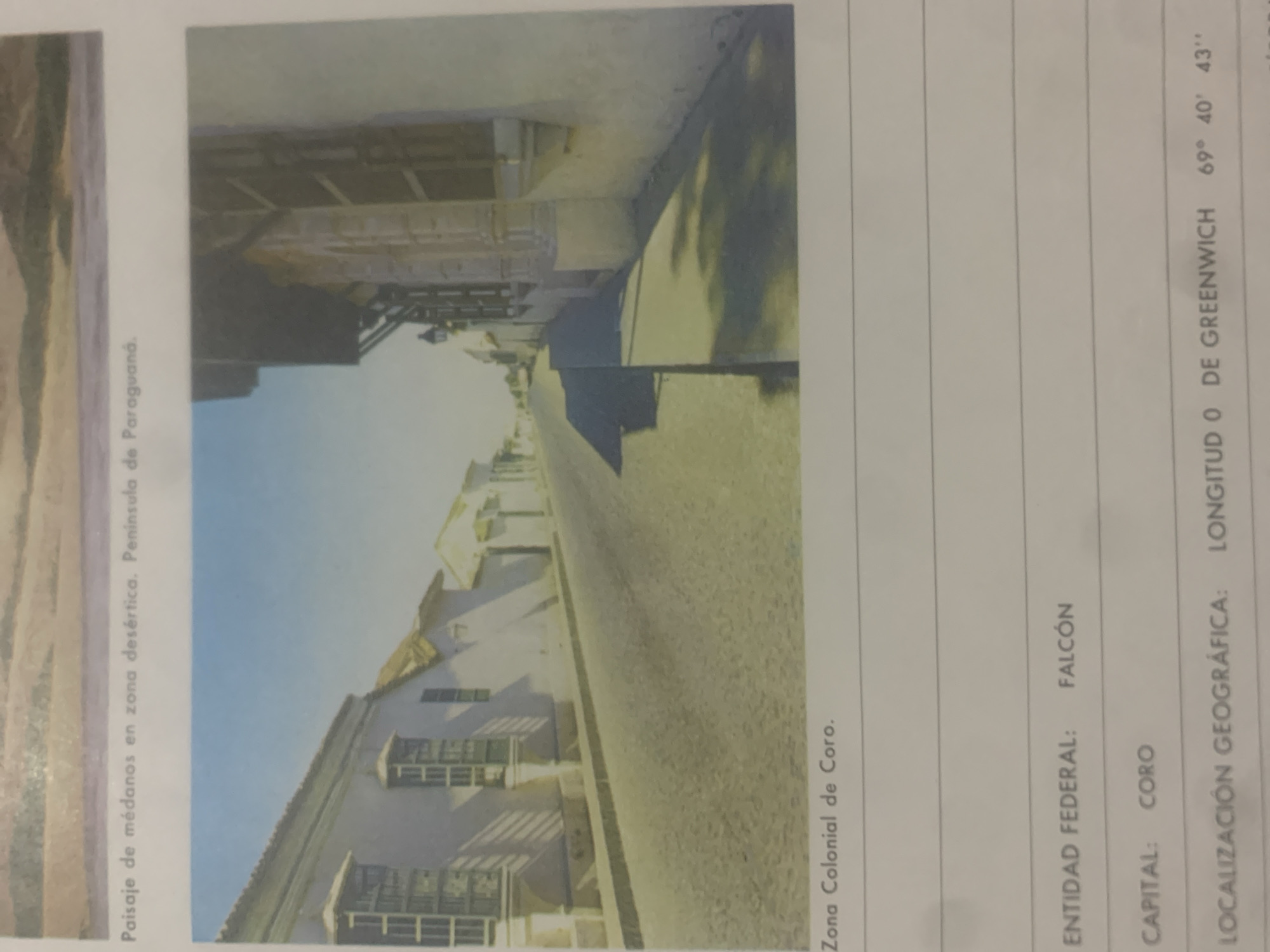
This media file is a photograph of a street scene in Coro, Venezuela. The image is oriented vertically, with the bottom of the photo appearing on the right side of the screen. The scene depicts a colonial-era street lined with traditional Venezuelan architecture. Buildings with white walls and numerous shuttered windows are visible on either side of the street. Shadows from trees fall across the street and buildings, suggesting it is daytime. The sky is a clear, bright blue.

Text within the image provides contextual information. The caption "Paisaje de médanos en zona desértica. Peninsula de Paraguana." indicates the broader geographical context, referring to a landscape of dunes in a desert area on the Paraguaná Peninsula. Another text label, "Zona Colonial de Coro.", clearly identifies the specific location as the Colonial Zone of Coro. Further text indicates "ENTIDAD FEDERAL: FALCÓN" and "CAPITAL: CORO", confirming that Coro is the capital of the Falcón state. Additionally, a "LOCALIZACIÓN GEOGRÁFICA" is provided as "LONGITUD O DE GREENWICH 69° 40' 43"". This suggests the image is part of a document or publication that includes geographical data. There are no people visible in the photograph. The overall impression is one of historical architecture and a sunlit, dry climate.
bombolico

Jun 25, 2026, 2:24 PM

La Tagua, Venezuela

BLOCKED

Stake attention in this memory

nostalgic
calm
historic
peaceful
serene

This media file is a photograph of a street scene in Coro, Venezuela. The image is oriented vertically, with the bottom of the photo appearing on the right side of the screen. The scene depicts a colonial-era street lined with traditional Venezuelan architecture. Buildings with white walls and numerous shuttered windows are visible on either side of the street. Shadows from trees fall across the street and buildings, suggesting it is daytime. The sky is a clear, bright blue. Text within the image provides contextual information. The caption "Paisaje de médanos en zona desértica. Peninsula de Paraguana." indicates the broader geographical context, referring to a landscape of dunes in a desert area on the Paraguaná Peninsula. Another text label, "Zona Colonial de Coro.", clearly identifies the specific location as the Colonial Zone of Coro. Further text indicates "ENTIDAD FEDERAL: FALCÓN" and "CAPITAL: CORO", confirming that Coro is the capital of the Falcón state. Additionally, a "LOCALIZACIÓN GEOGRÁFICA" is provided as "LONGITUD O DE GREENWICH 69° 40' 43"". This suggests the image is part of a document or publication that includes geographical data. There are no people visible in the photograph. The overall impression is one of historical architecture and a sunlit, dry climate.

Symbol

1EA10

Volume

0

Creator

+$0.09

Revenue

+$0.00

TVL

$0.00

1D
1W
1M
All

Loading AttnAds…

transactions
revenues
stakers
Earliest
Latest
Highest stake

1

Katy

Staked 10d ago
Redeemed 4d ago

$7.22 USD

+$0.10 USD

Fee: $0.02 (0.25%)

+1%

2

Rev Bot 🤖💰

Injected revenue 10d ago

Revenue bonus for the last stake.

+$0.21 USD

More from this user

More from La Tagua

bombolico

Jun 25, 2026, 2:24 PM

La Tagua, Venezuela

Licensed under Creative Commons Attribution 4.0 International License. You are free to share and adapt this content with proper attribution.





