Stake attention in this memory
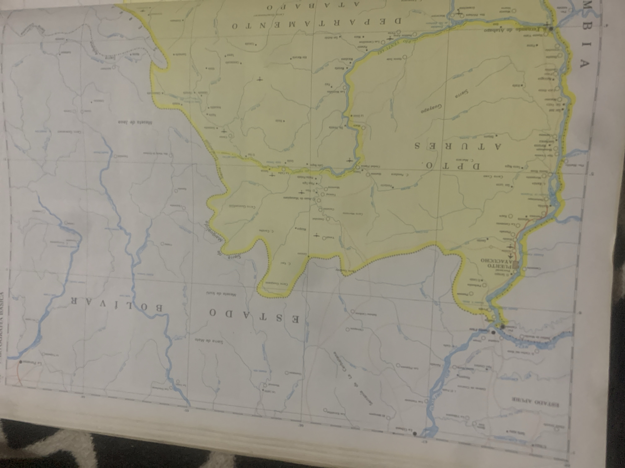
This is a photograph of a map of Venezuela. The map is oriented with the bottom edge of the image corresponding to the south of Venezuela. The map shows rivers, roads, towns, and geographical features like mountains and plains. The image is a close-up shot, and the map is slightly creased and appears to be old. The visible text on the map includes "CARTOGRAFÍA BASICA", "BOLIVAR", "ESTADO", "DPT O.", "ATABAPO", "AMAZONAS", "COLOMBIA", "PUERTO AYACUCHO", and "ESTADO APURE". Some place names are also visible, such as "Rio Ventuari", "Rio Orinoco", "Puerto Paez", "Sierra de Mata", and "Meseta de Iuvio". The overall color palette of the map is muted, with yellow and white as the dominant colors, and blue representing rivers. The map appears to be a topographical map, showing elevation changes and hydrological features of the region. The photograph's lighting suggests it was taken in ambient indoor lighting, possibly with a flash, as there are some reflections and shadows visible. The setting is likely an indoor environment where the map is being stored or displayed.
Symbol
1ED68
Volume
11,550
Creator
+$0.03
Revenue
+$0.04
TVL
$2.40
Loading AttnAds…

2

Rev Bot 🤖💰
Injected revenue 2mo ago
“Revenue bonus for the last stake.”
+$0.04 USD





