Stake attention in this memory
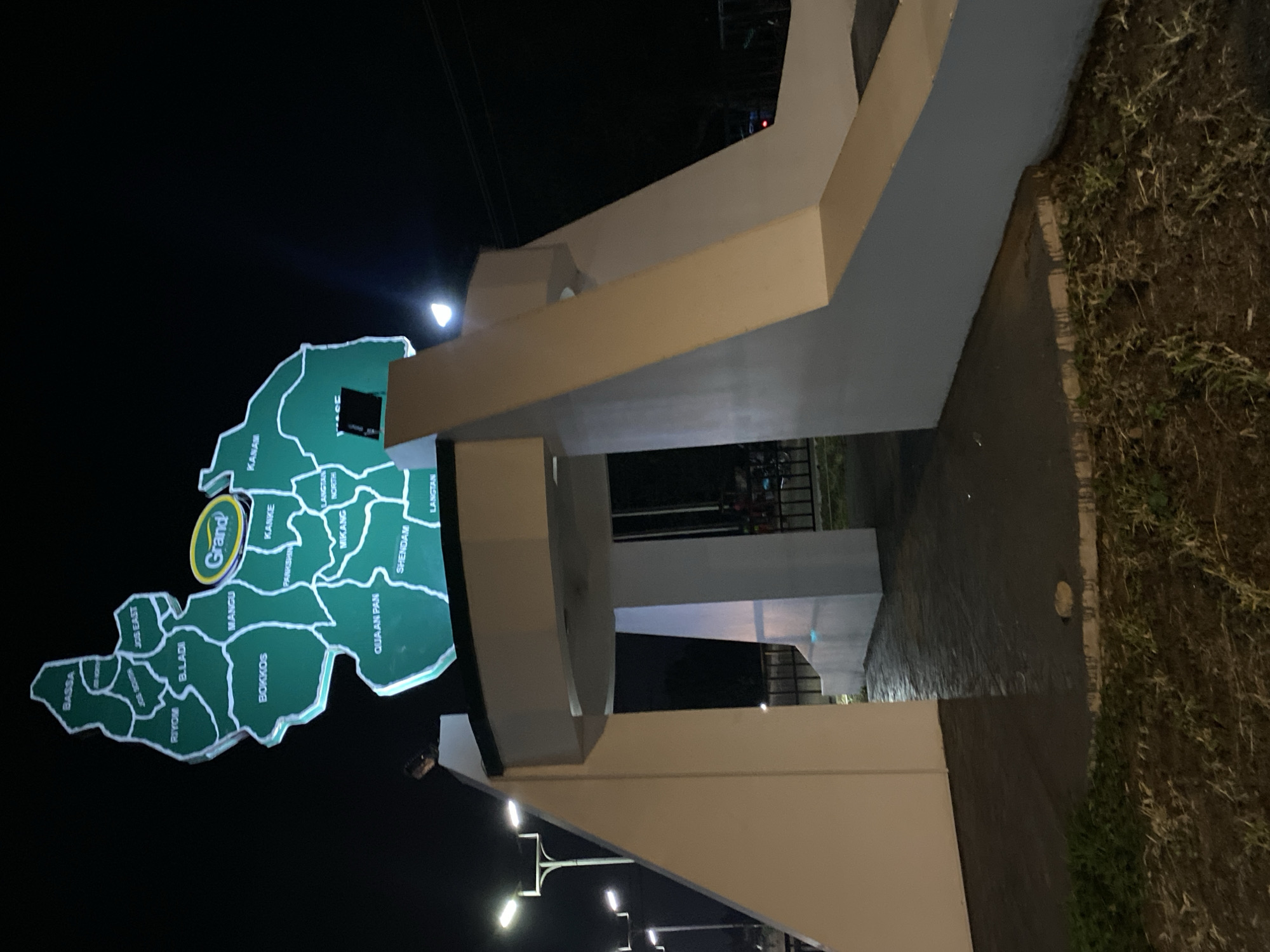
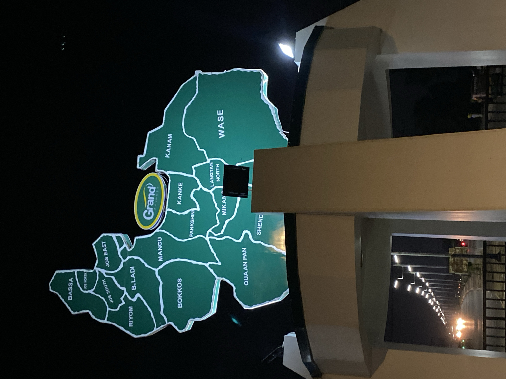
The image shows an illuminated map of Nigerian local government areas at night. The map, a large, green, three-dimensional structure, is displayed on a raised platform. It depicts various regions within a larger geographical area, with names like "BASSA," "RIYOM," "JOS NORTH," "JOS SOUTH," "B.LADI," "MANGU," "BOKKOS," "QUAN PAN," "JOS EAST," "PANKSHIN," "MIKAN," "LANGTAN NORTH," "KANAM," and "WASE" labeled in white lettering. A prominent oval logo with the text "Grand" in green lettering with a yellow outline is situated in the upper right portion of the map. The map is mounted above an entryway or archway. Below the map, the entryway has thick, beige-colored pillars. Beyond the entryway, a street lined with streetlights is visible, with cars driving on it, their headlights creating streaks of light on the wet pavement. The overall environment appears to be an outdoor public space at night. The location is identified as Kuru Dungus, Nigeria.
No transactions found