Stake attention in this memory
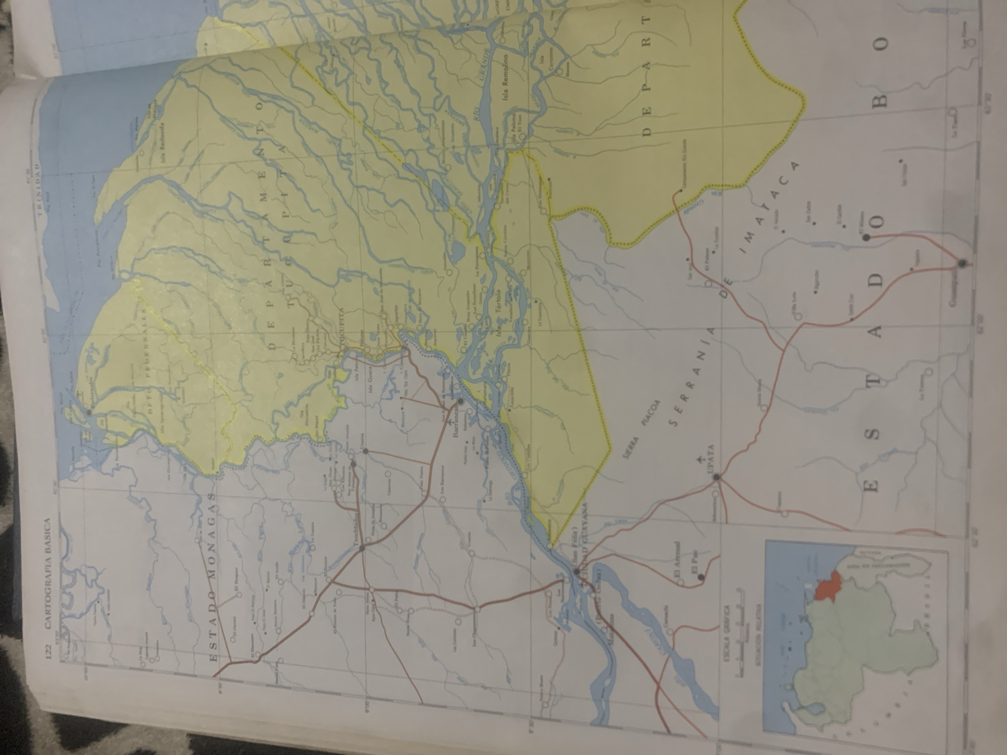
The image is a close-up, slightly angled photograph of a large, unfolded map. The map appears to be a topographic or cartographic chart of a region in Venezuela, likely focusing on the area around the Orinoco River delta. Visible text on the map indicates geographical names and administrative divisions such as "ESTADO MONAGAS", "TUCUPITA", "DEPARTAMENTO", and "ESTADO BOLIVAR". There are also labels for rivers, islands like "Isla Redonda" and "Isla Tortola", and towns or settlements like "Barrancas" and "Upata". A smaller inset map in the bottom right corner shows the relative location of the mapped area within Venezuela, with a specific region highlighted in red. The map's colors are predominantly yellow and blue, depicting land and water respectively. The overall scene suggests a document being displayed or studied, possibly for navigation, research, or educational purposes. The lighting and angle suggest the photograph was taken indoors. There are no people or specific activities clearly depicted, other than the map itself as the subject. The map has a scale bar and grid lines, indicating it is a detailed geographical representation.
Symbol
22ADB
Volume
0
Creator
+$0.03
Revenue
+$0.00
TVL
$0.00
Loading AttnAds…

2

Rev Bot 🤖💰
Injected revenue 2mo ago
“Revenue bonus for the last stake.”
+$0.05 USD





