trapito
Jan 22, 2026, 1:00 AM
Stake attention in this memory
map
Antarctica
geography
animal sightings
travel
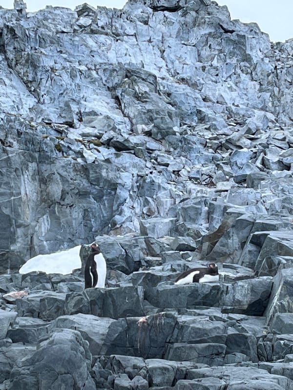
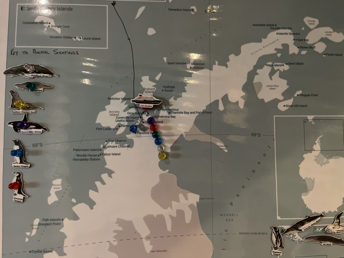
A map of a portion of Antarctica, likely the Antarctic Peninsula, features place names like Coronation Island, Hope Bay, and the Weddell Sea. A ship is depicted near Brabant Island. A black line indicates a route. Colored pushpins mark locations along the peninsula. The map includes a key for animal sightings, with cartoon magnets representing various Antarctic fauna like penguins and whales. Latitude 65°S is noted.
transactions
revenues
stakers
Earliest
Latest
Highest stake
No transactions found
More from this user