
Stake attention in this memory
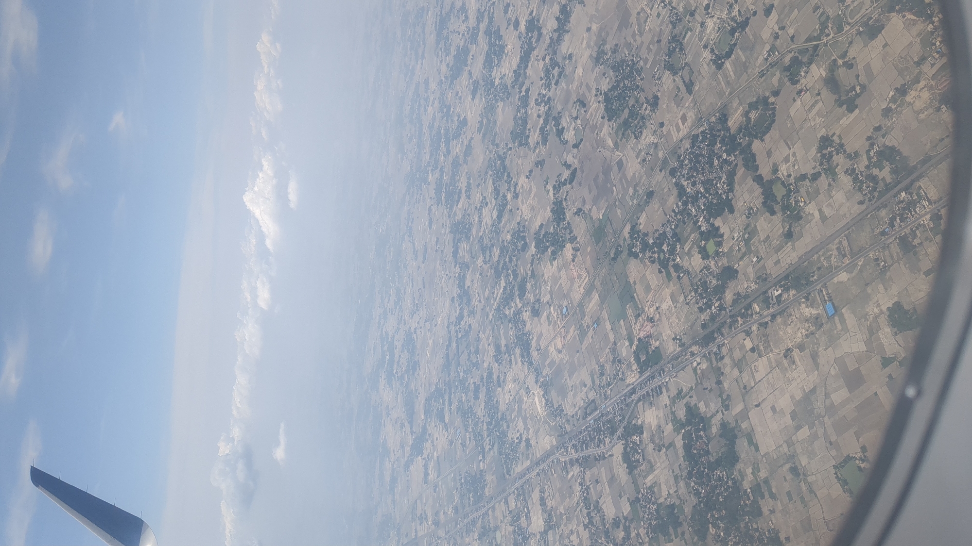
An aerial view from an airplane window shows a vast expanse of rural landscape with fields, scattered vegetation, and buildings. The fields are irregular in shape and appear to be harvested or fallow, with varying shades of brown and beige. Darker green patches indicate clusters of trees or densely vegetated areas. A road or highway runs diagonally through the scene, bordered by more settlements and fields. Small villages or hamlets are visible, characterized by clusters of buildings and trees. In the upper left quadrant, a portion of the airplane's wing is visible against a bright blue sky with scattered white clouds. The overall impression is of an agricultural region from a high vantage point. The specific location in Babatpur, India is characterized by this agricultural pattern, with the highway potentially being a major artery connecting to urban centers. The environment appears dry and possibly during a harvest or post-harvest season.
Loading AttnAds…
No transactions found