Stake attention in this memory
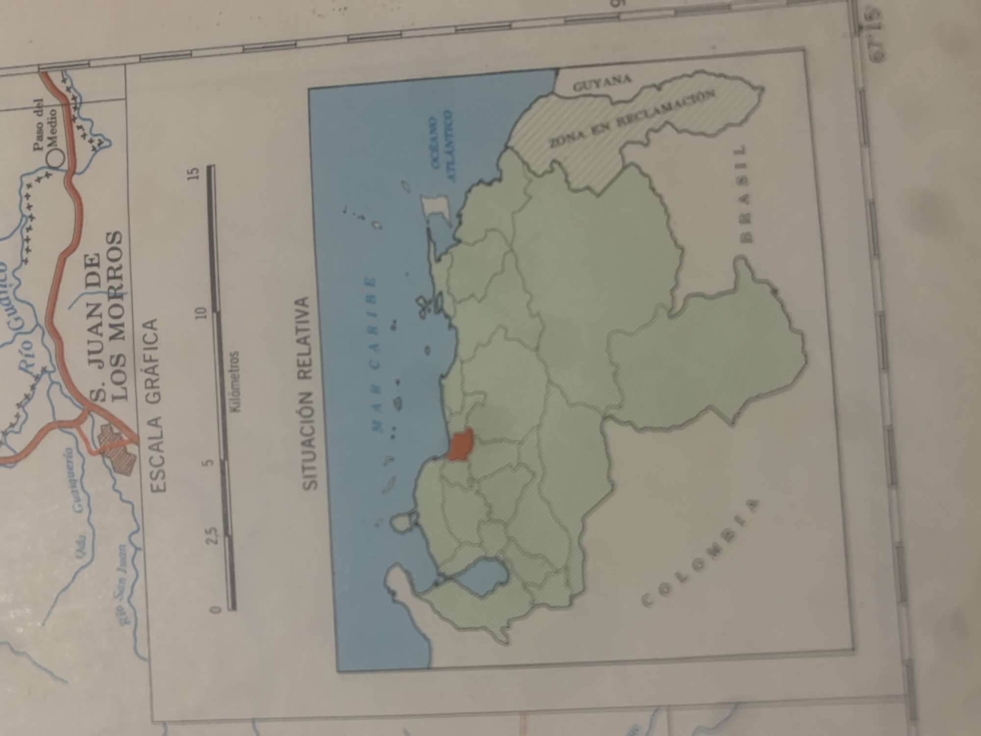
This is a scan of a map of Venezuela, focusing on the state of Guárico. The map is oriented with north to the right. The main subject is the geographical representation of Venezuela, with its states and neighboring countries. The map prominently displays "S. JUAN DE LOS MORROS" with an associated graphic scale in kilometers. It also shows "SITUACIÓN RELATIVA" and indicates the "MAR CARIBE" and "OCÉANO ATLÁNTICO." Neighboring countries are labeled as "GUYANA," "BRASIL," and "COLOMBIA." A region within Venezuela is marked as "ZONA EN RECLAMACIÓN." On the left side of the map, there is a depiction of a river system labeled "Río Gu," with smaller tributaries like "Río San Juan." A settlement or point of interest is marked "Oda Gusiqueria," and another is labeled "Paso del Medio." A small, distinct red-colored area is highlighted within the Venezuelan mainland, likely indicating the specific location of San Juan de los Morros. The overall setting is a cartographic representation of a region in Venezuela. There are no people, animals, or explicit activities depicted, other than the geographical boundaries and textual information. The map appears to be from a printed source, given the texture and slight curvature of the paper. Visible text includes place names, geographical features, and scale information, all in Spanish. The coordinates "67°15" are visible on the right edge. The time of day and weather are not discernible from the image.
Symbol
24989
Volume
11,550
Creator
+$0.13
Revenue
+$0.17
TVL
$11.58
2
Rev Bot 🤖💰
Injected revenue 6d ago
“Revenue bonus for the last stake.”
+$0.18 USD


