Sign in
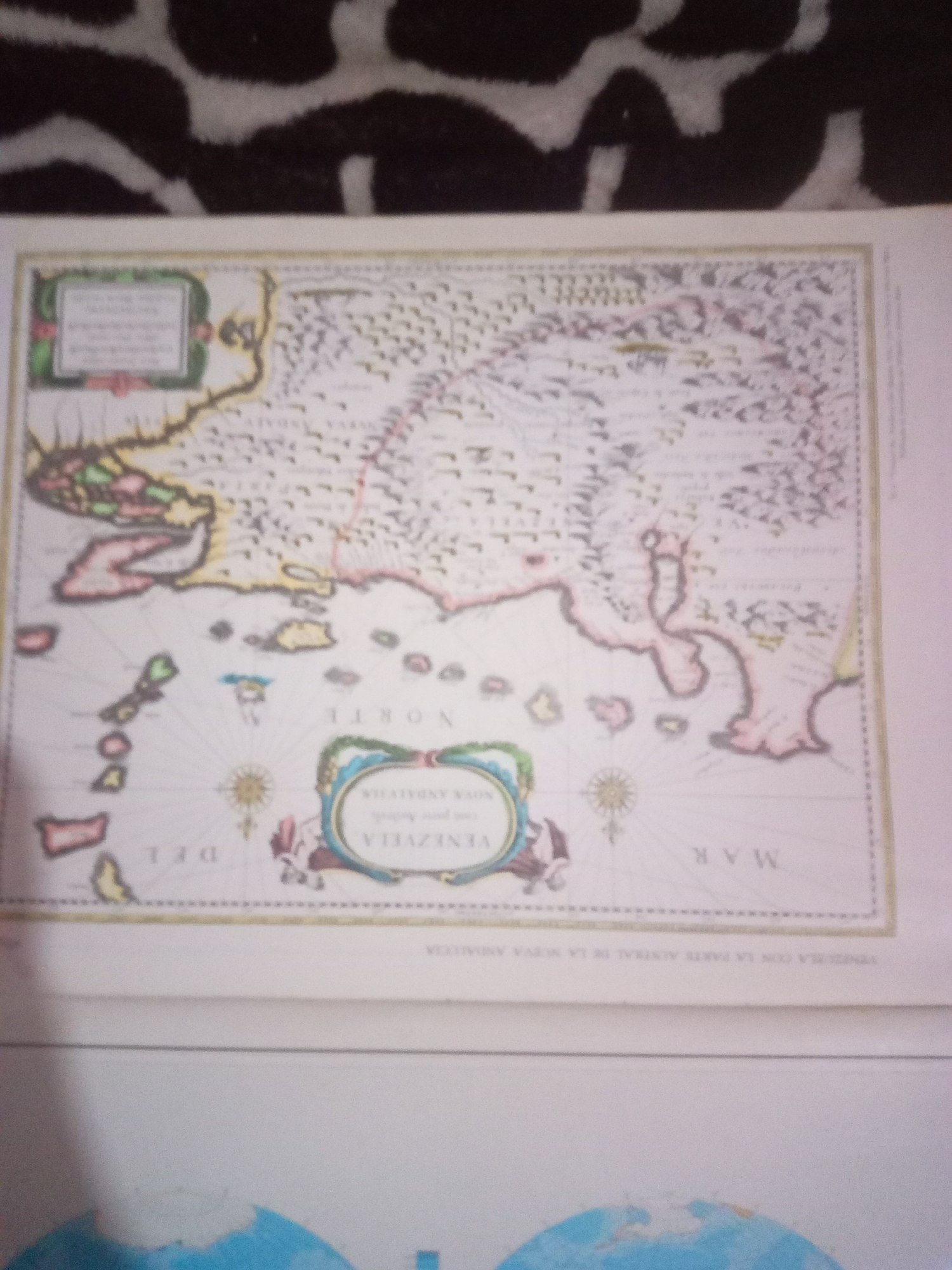
The image shows a close-up of an old map, possibly a historical document or a reproduction. The map depicts a coastal region with islands and a body of water, likely a sea or ocean. The style of the map suggests it is from an earlier period, with intricate details and decorative elements. There is text on the map, some of which is legible, including what appears to be place names and directional indicators. Specifically, the text "VENEZUELA" is clearly visible within an oval cartouche, suggesting the map's geographical focus. The phrase "NUEVA ANDALUZIA" is also present, indicating a historical naming convention for a region. Another legible word is "NORTE," indicating North. The colors used are muted, with reds, yellows, and blues predominant, along with black and white detailing. The map is framed by a decorative border. There are no people visible in the image, and the focus is entirely on the cartographic representation. The background of the image is out of focus, but appears to be a patterned fabric. The location of La Tagua, Venezuela, is not directly depicted or mentioned on the visible portion of the map.
Alberto Rodríguez

Jun 10, 2026, 6:45 AM

La Tagua, Venezuela

Short Term

Stake attention in this memory

nostalgia
curiosity
adventure
discovery
wonder

The image shows a close-up of an old map, possibly a historical document or a reproduction. The map depicts a coastal region with islands and a body of water, likely a sea or ocean. The style of the map suggests it is from an earlier period, with intricate details and decorative elements. There is text on the map, some of which is legible, including what appears to be place names and directional indicators. Specifically, the text "VENEZUELA" is clearly visible within an oval cartouche, suggesting the map's geographical focus. The phrase "NUEVA ANDALUZIA" is also present, indicating a historical naming convention for a region. Another legible word is "NORTE," indicating North. The colors used are muted, with reds, yellows, and blues predominant, along with black and white detailing. The map is framed by a decorative border. There are no people visible in the image, and the focus is entirely on the cartographic representation. The background of the image is out of focus, but appears to be a patterned fabric. The location of La Tagua, Venezuela, is not directly depicted or mentioned on the visible portion of the map.

Symbol

25387

Volume

11,550

Creator

+$0.03

Revenue

+$0.04

TVL

$2.94

1D
1W
1M
All

Loading AttnAds…

transactions
revenues
stakers
Earliest
Latest
Highest stake

1

yoko

Staked 29d ago

$2.93 USD

+$0.02 USD

+0.5%

2

Rev Bot 🤖💰

Injected revenue 29d ago

Revenue bonus for the last stake.

+$0.05 USD

More from this user

More from La Tagua

Alberto Rodríguez

Jun 10, 2026, 6:45 AM

La Tagua, Venezuela

Licensed under Creative Commons Attribution 4.0 International License. You are free to share and adapt this content with proper attribution.





