Stake attention in this memory
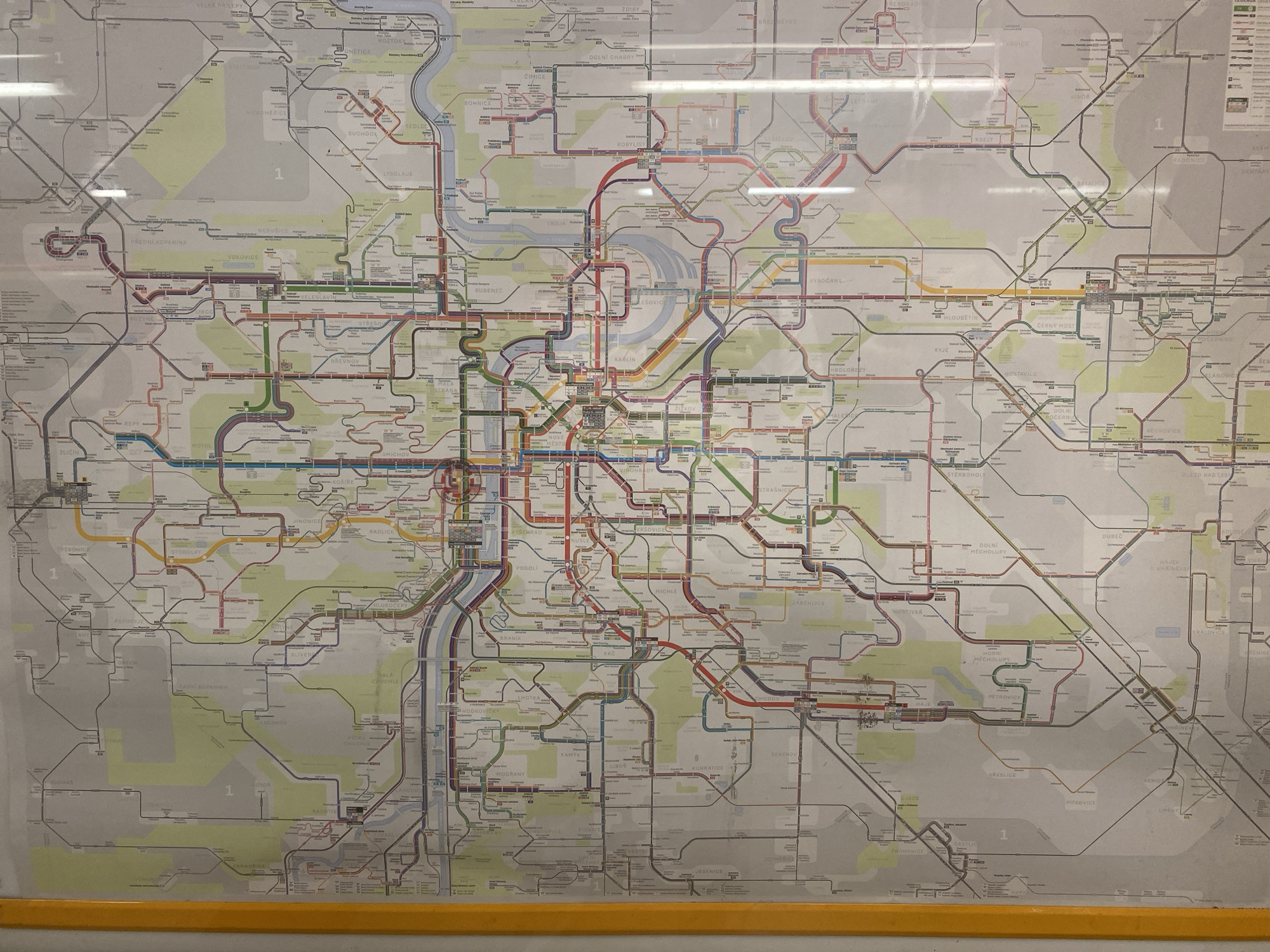
This is a high-angle, full shot of a large, laminated transit map of Prague, Czechia, displayed on a wall. The map is colorful, with various colored lines representing different public transportation routes, including metro, tram, and bus lines, overlaid on a stylized geographical representation of the city. Numerous station names are clearly legible in Czech. The map is framed by a yellow wooden trim at the bottom. The lighting suggests an indoor environment, possibly a public transport station or information center. The overall impression is one of urban planning and transportation information, with no people or specific activities depicted. The dominant feature is the intricate network of transit lines and the detailed labeling of the city's districts and stations.
No transactions found