
Stake attention in this memory
historical
educational
informative
nostalgic
academic
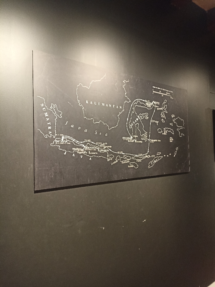
The image shows a black rectangular map of the Indonesian archipelago, mounted on a black wall. The map is centered on the Java Sea and includes the islands of Sumatra, Kalimantan, Sulawesi, and the Lesser Sunda Islands. The map is labelled with the names of major cities and regions in white lettering, including Batavia, Semarang, Surabaya, Makassar, and Lombok. The map is located in West Jakarta, Indonesia, at the coordinates -6.135 latitude and 106.813 longitude. The map is positioned against a flat black wall, with no other objects visible in the image. The map is likely part of an exhibit or display in a museum or other public space.
Loading AttnAds…
transactions
revenues
stakers
Earliest
Latest
Highest stake
No transactions found