Stake attention in this memory
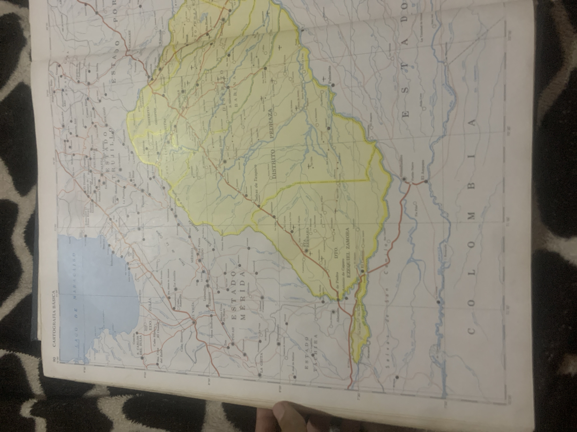
The image is a photograph of a map, specifically a page from an atlas or textbook. The map displays a portion of Venezuela and its borders with other countries, likely Colombia, given the visible text "COLOMBIA" along the bottom of the image. The map is detailed, showing bodies of water such as "LAGO DE MARACAIBO", political divisions like "ESTADO ZULIA", "ESTADO MERIDA", "ESTADO TRUJILLO", and "ESTADO TACHIRA". It also indicates cities, towns, districts, and geographical features like mountains and rivers. The specific location of La Tagua, Venezuela, is not explicitly visible or marked on the provided image. While the map is quite detailed, it does not zoom in to that level of granularity to show every small town or village. The focus appears to be on larger geographical and administrative regions.
Loading AttnAds…
No transactions found





