Stake attention in this memory
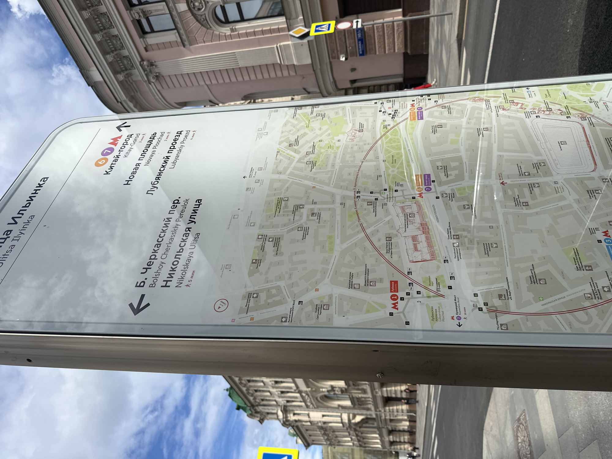
This media file captures a street-level view of a city map display in Moscow, Russia. The primary subject is the map itself, mounted on a metal pole. The map is white with printed street layouts, transit lines, and various icons. Prominent text on the map and surrounding signage includes station names like "Китай-город" (Kitay-Gorod), "Новая площадь" (Novaya Ploschad), "Лубянский проезд" (Lubyanskiy Proezd), "Б. Черкасский пер." (Bolshoy Cherkasskiy Pereulok), and "Никольская улица" (Nikolskaya Ulitsa). Metro station symbols (M1, M6, M7) are also visible, indicating public transportation routes. In the background, the architecture of Moscow is evident. A large building with ornate detailing, painted in shades of pink and white, is visible at the top of the frame. Further down, another building with green accents and classical architectural elements can be seen. The sky above is a mix of blue and white clouds, suggesting daytime weather. The map display is angled, suggesting it's a directional sign for pedestrians. Arrows point to various locations with estimated walking times in minutes (e.g., "2 мин," "5 мин," "10 мин"). The overall scene suggests a busy urban environment, likely a tourist or commercial area in Moscow, where people would use the map to navigate. The reflection on the map surface indicates a bright, possibly sunny day. No people are clearly identifiable or in focus, but the setting implies a public space.
No transactions found