Sign in
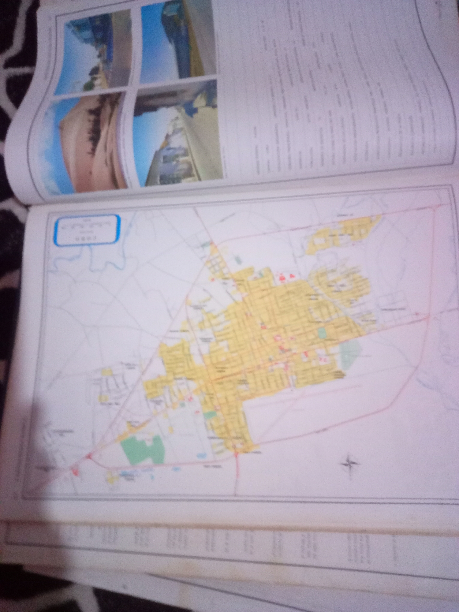
The image shows an open book with two pages visible. The left page displays four photographs, arranged in a 2x2 grid. The top two photographs appear to be aerial or elevated views of urban or semi-urban areas with blue skies. The bottom two photographs are also elevated views, one showing a sandy or desert-like landscape with vegetation and the other showing a street with buildings and vehicles.

The right page displays a map that appears to be a city map, with streets, buildings highlighted in yellow, and some green areas representing parks or other open spaces. A compass rose is visible on the map. In the upper left corner of the map page, there is a blue-bordered box with some text that is mostly illegible due to the image resolution and blurriness, but it seems to include coordinates and the word "LA TAGUA". This indicates the map pertains to La Tagua, Venezuela. The map also shows some roads and what appear to be geographical features like rivers or bodies of water. Below the map, the page is filled with columns of text, likely descriptive or informational content related to the map. The book is lying on a surface with a black and white patterned fabric. The overall image quality is low, with significant blur and glare, making fine details difficult to discern.
Alberto Rodríguez

Jun 10, 2026, 6:37 AM

La Tagua, Venezuela

Moment

Stake attention in this memory

curiosity
planning
exploration
interest
information

The image shows an open book with two pages visible. The left page displays four photographs, arranged in a 2x2 grid. The top two photographs appear to be aerial or elevated views of urban or semi-urban areas with blue skies. The bottom two photographs are also elevated views, one showing a sandy or desert-like landscape with vegetation and the other showing a street with buildings and vehicles. The right page displays a map that appears to be a city map, with streets, buildings highlighted in yellow, and some green areas representing parks or other open spaces. A compass rose is visible on the map. In the upper left corner of the map page, there is a blue-bordered box with some text that is mostly illegible due to the image resolution and blurriness, but it seems to include coordinates and the word "LA TAGUA". This indicates the map pertains to La Tagua, Venezuela. The map also shows some roads and what appear to be geographical features like rivers or bodies of water. Below the map, the page is filled with columns of text, likely descriptive or informational content related to the map. The book is lying on a surface with a black and white patterned fabric. The overall image quality is low, with significant blur and glare, making fine details difficult to discern.

Symbol

26988

Volume

0

Creator

+$0.04

Revenue

+$0.00

TVL

$0.00

1D
1W
1M
All

Loading AttnAds…

transactions
revenues
stakers
Earliest
Latest
Highest stake

1

yoko

Staked 29d ago
Redeemed 25d ago

$2.89 USD

+$0.03 USD

Fee: $0.01 (0.25%)

+1%

2

Rev Bot 🤖💰

Injected revenue 29d ago

Revenue bonus for the last stake.

+$0.08 USD

More from this user

More from La Tagua

Alberto Rodríguez

Jun 10, 2026, 6:37 AM

La Tagua, Venezuela

Licensed under Creative Commons Attribution 4.0 International License. You are free to share and adapt this content with proper attribution.





