Stake attention in this memory
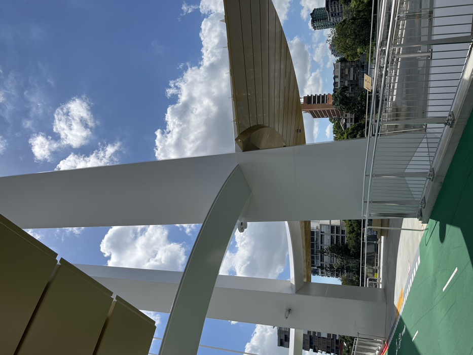
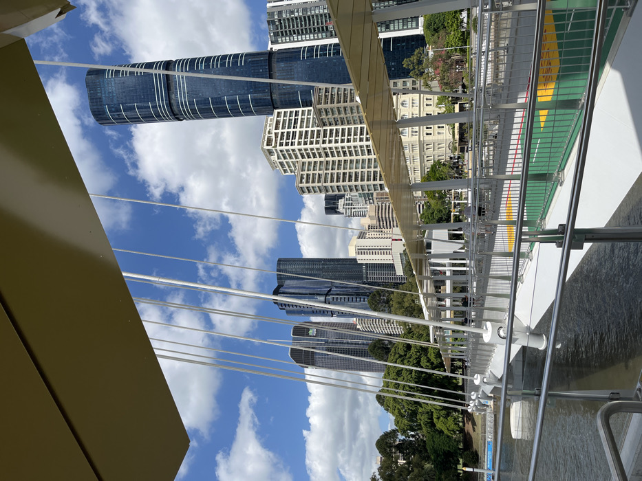
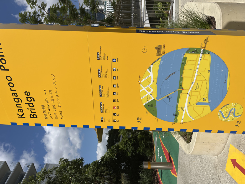
The image captures a large, yellow informational sign for the "Kangaroo Point Bridge," set outdoors on a sunny day. The sign, which is oriented vertically in the photograph, features text in multiple languages including English, Chinese, Arabic, Korean, and Japanese, all translating to "Kangaroo Point Bridge" or a similar phrase like "Kangaroo Point Green Bridge." The main part of the sign displays a circular map illustrating the local area, including the Brisbane River, Kangaroo Point, and Brisbane City. The map highlights key landmarks and pathways, indicating the location of the Kangaroo Point Bridge. Surrounding the map are concentric circles marked with "10 min" and "30 min," suggesting walking distances or times. A smaller, inset map provides a broader context of the Brisbane River's winding path. To the left of the map, a numbered list details various points of interest with associated icons and estimated walking times: 1. Dutton Park 2. Captain Burke Park 3. Kangaroo Point Bridge 4. Kangaroo Point Cliffs 5. City Botanic Gardens Each point is accompanied by small symbols representing facilities like toilets, food, lookout points, ferry terminals, parking, and accessibility. The setting appears to be a well-maintained public space, possibly a park or waterfront promenade. Green foliage, including trees and bushes, is visible behind and around the sign. The sky is bright blue with scattered white clouds, indicating clear weather. In the background, modern buildings can be seen. The ground beneath the sign features paved areas with distinct green and red painted markings, and a yellow arrow points towards the right. A metal bollard is also visible in the foreground. No people are present in the image.
No transactions found