Stake attention in this memory
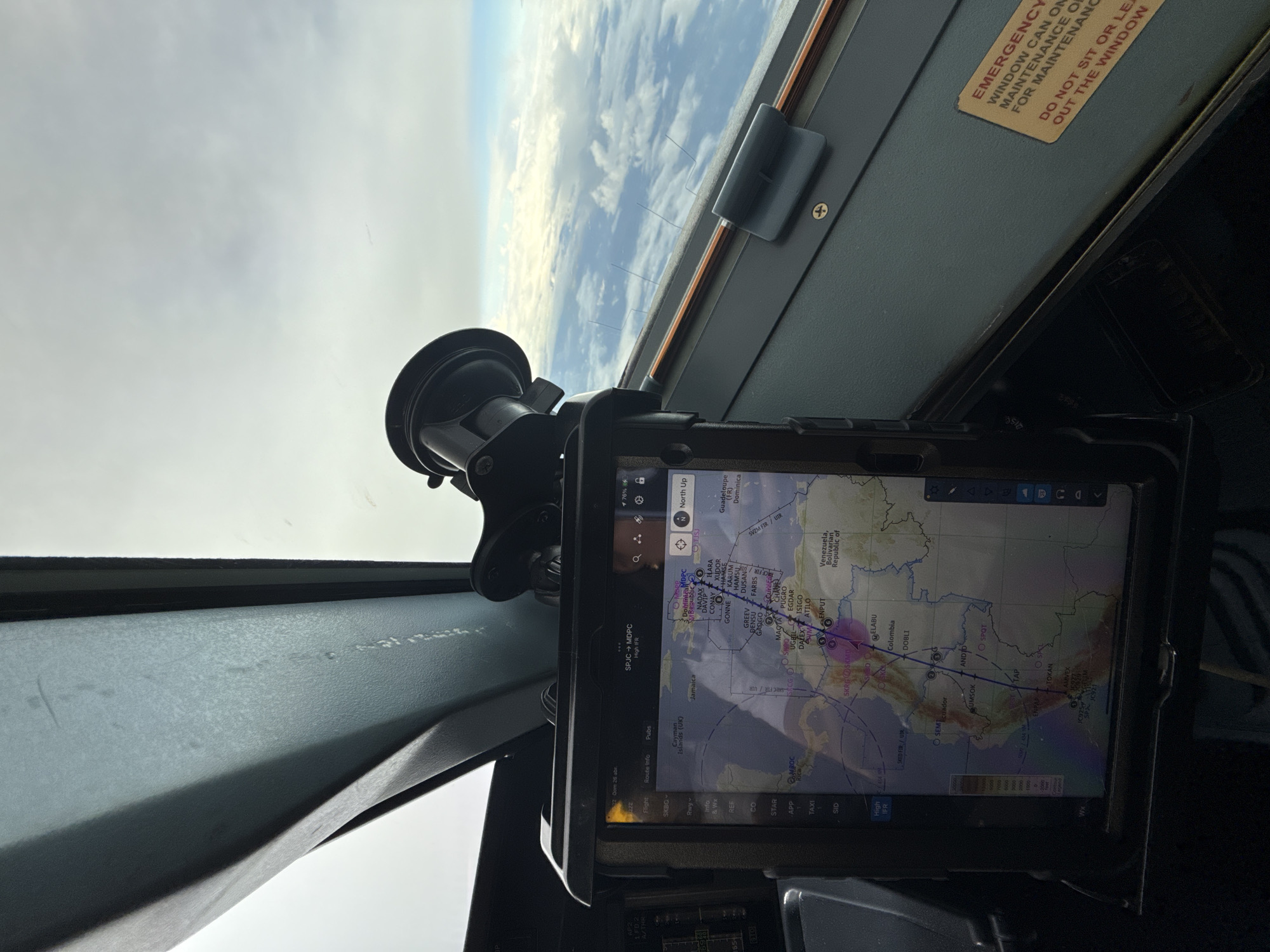
Here's a description of the image: The image is taken from the cockpit of an aircraft, likely during flight, as evidenced by the view of the sky and clouds through the windshield. A tablet is mounted on the dashboard using a suction cup mount. The tablet displays a flight navigation application, showing a map of the Caribbean region, specifically featuring flight routes and waypoints. Text on the screen indicates a route from SPJC (Jorge Chávez International Airport in Lima, Peru) to MDPC (Punta Cana International Airport, Dominican Republic). Place names visible on the tablet include Jamaica, Colombia, Ecuador, Venezuela, and Curaçao. Additional information on the screen includes flight planning details, waypoints, and navigational aids, indicating a "High IFR" flight plan. A yellow warning label is seen in the upper right, cautioning against leaning out the window.
Symbol
26EC1
Volume
3,412
Creator
+$0.01
Revenue
+$0.00
TVL
$1.27