Stake attention in this memory
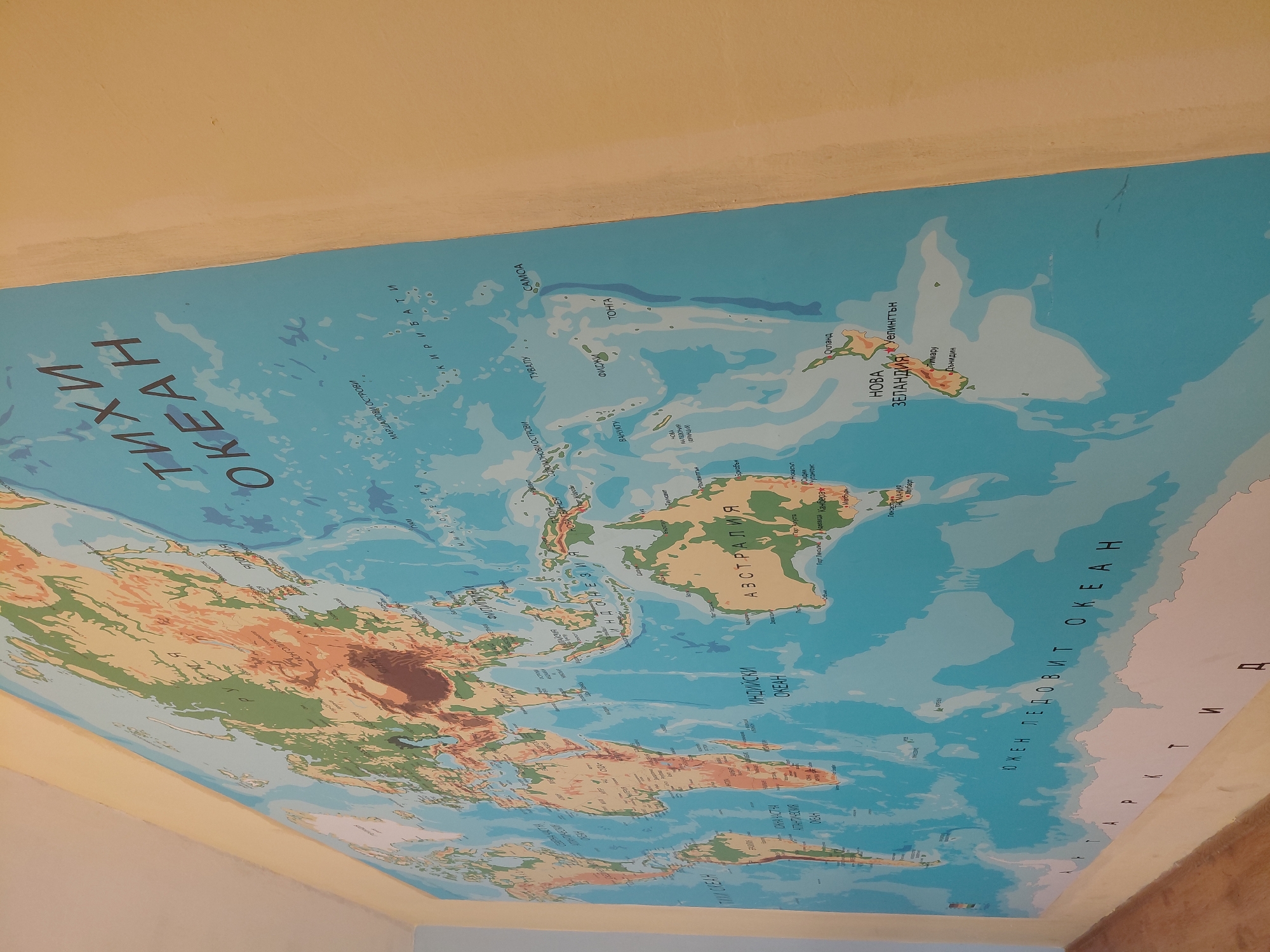
A brightly lit, tilted full-shot captures a large world map displayed across a wall and ceiling corner, likely a mural or a substantial poster. The map is primarily a physical-political representation, showcasing continents, oceans, and various countries and cities. The perspective is from below, looking upwards at the map. The map features Cyrillic script, indicating Bulgarian text, and prominently displays the Pacific Ocean region, Australia, New Zealand, and segments of Asia, North America, South America, and Antarctica. The "ТИХИ ОКЕАН" (Pacific Ocean) dominates the view, surrounded by numerous islands and landmasses. Key geographical labels include "АВСТРАЛИЯ" (Australia), "НОВА ЗЕЛАНДИЯ" (New Zealand) with cities like "Уелингтън" (Wellington) and "Окланд" (Auckland), and many Pacific island nations such as "КИРИБАТИ" (Kiribati), "ТУВАЛУ" (Tuvalu), "САМОА" (Samoa), "ФИДЖИ" (Fiji), and "ТОНГА" (Tonga). The "ИНДИЙСКИ ОКЕАН" (Indian Ocean) and part of the "ЮЖЕН ЛЕДОВИТ ОКЕАН" (Southern Ocean) are also visible. Landmasses feature topographical relief in greens and browns, while oceans are depicted in blue. The surrounding walls or ceiling areas are a plain, light yellow color. The map itself is the central subject; no people or specific activities are present. This map is located in Svishtov, Bulgaria.
Symbol
27042
Volume
8,408
Creator
+$0.00
Revenue
+$0.00
TVL
$11.02