Stake attention in this memory
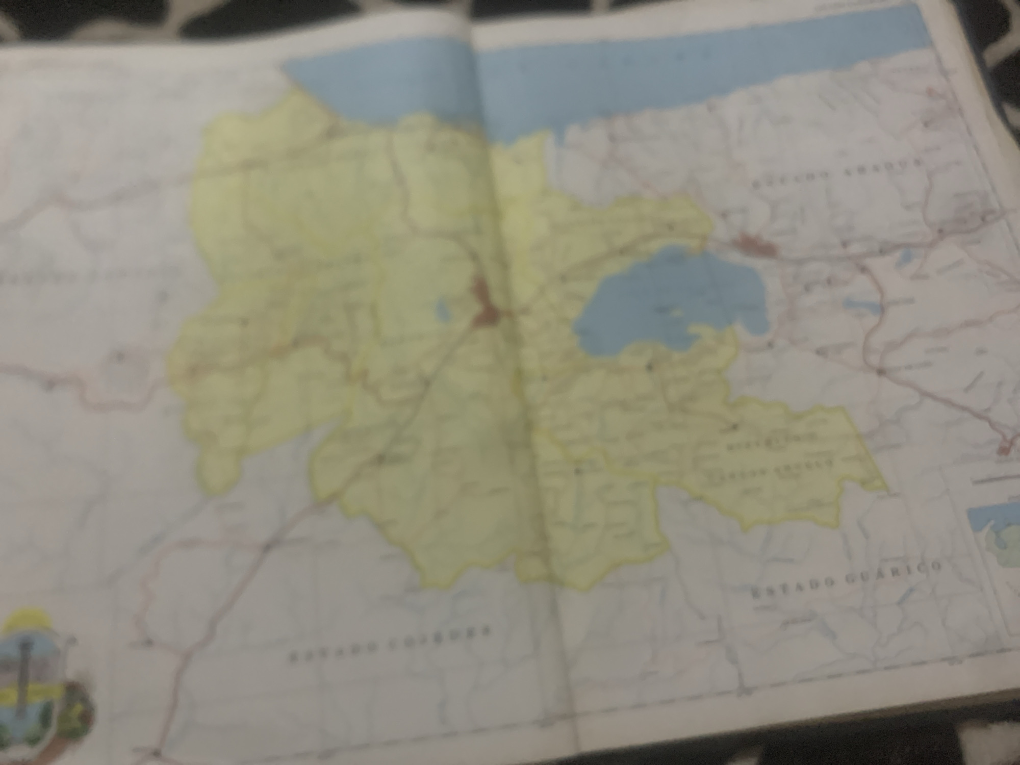
The image is a close-up, slightly blurred photograph of a map. The map displays a geographical area with a yellow-highlighted region, a large blue body of water, and several smaller blue bodies of water. Red dots are visible within the yellow highlighted area, possibly indicating settlements or points of interest. Lines on the map likely represent roads or borders. Text in what appears to be Spanish is present, with "ESTADO GUÁRICO" visible vertically on the left side of the map. The map is folded and appears to be on a paper surface, with a black and white patterned background visible in the lower right corner. There are no people, actions, or interactions depicted in the image. The context of La Tagua, Venezuela, is not explicitly identifiable from the visible parts of the map, as only the state of Guárico is mentioned.
Symbol
280A8
Volume
11,550
Creator
+$0.15
Revenue
+$0.28
TVL
$11.66
2
Rev Bot 🤖💰
Injected revenue 6d ago
“Revenue bonus for the last stake.”
+$0.31 USD


