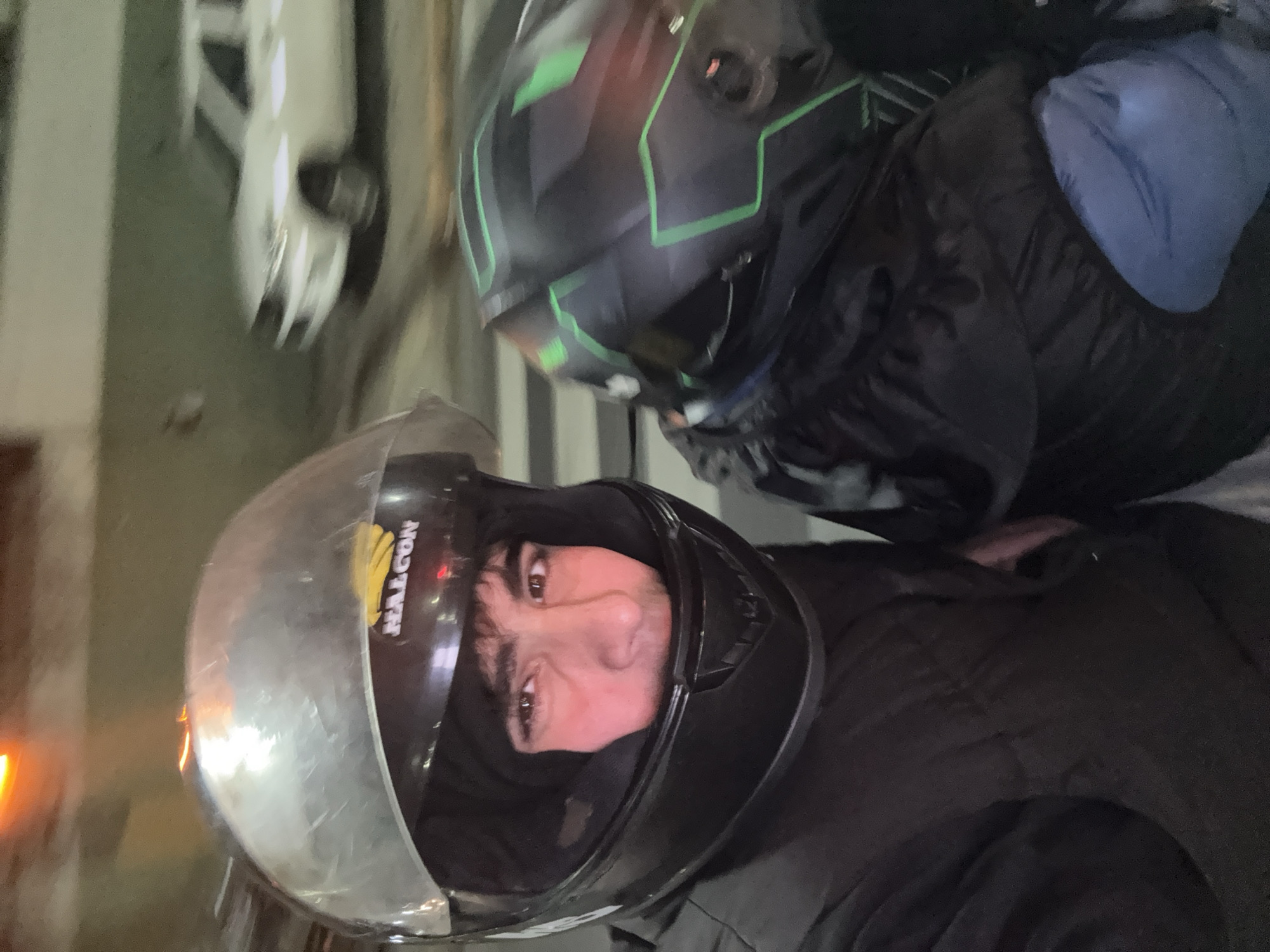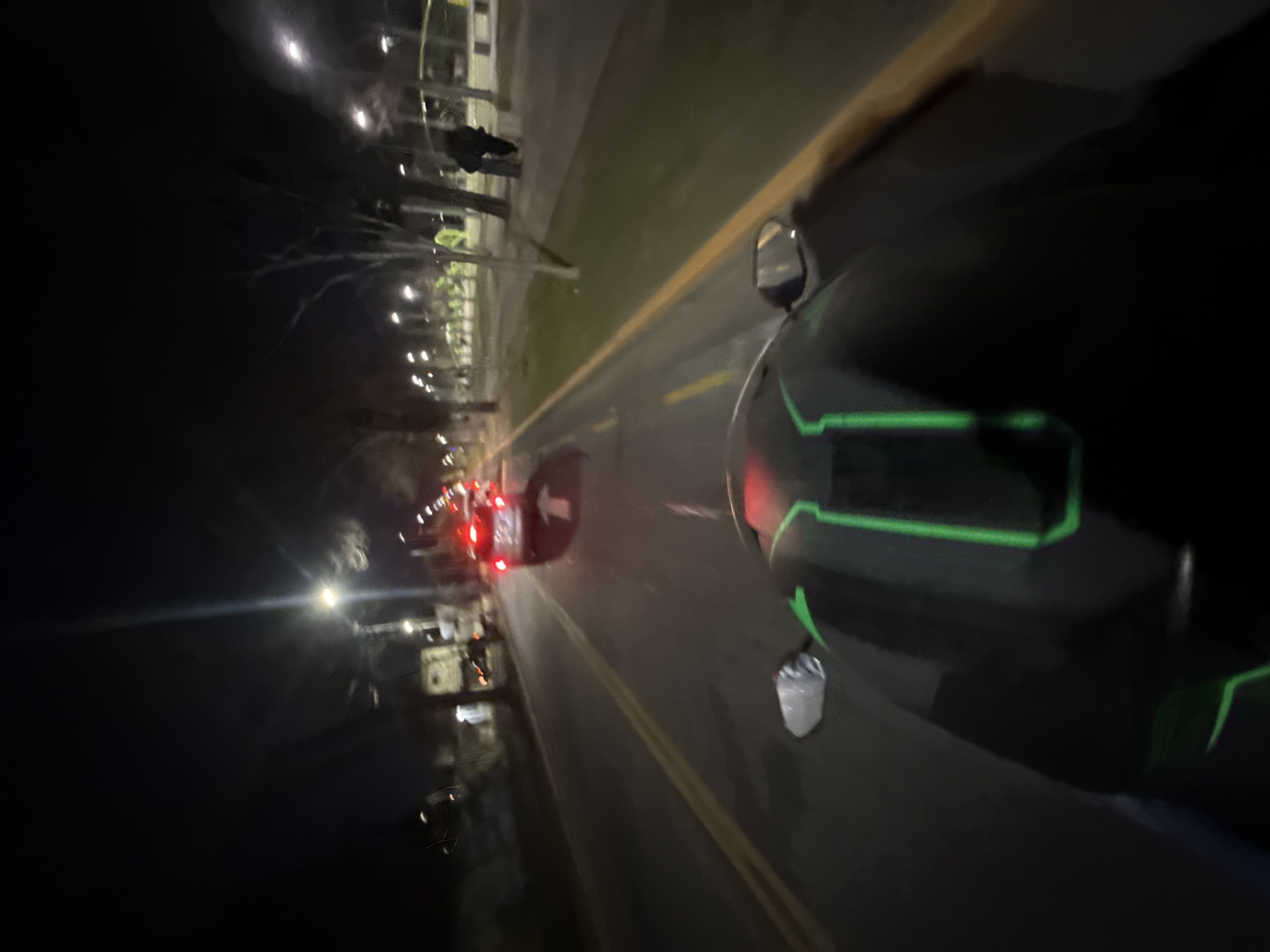
Stake attention in this memory
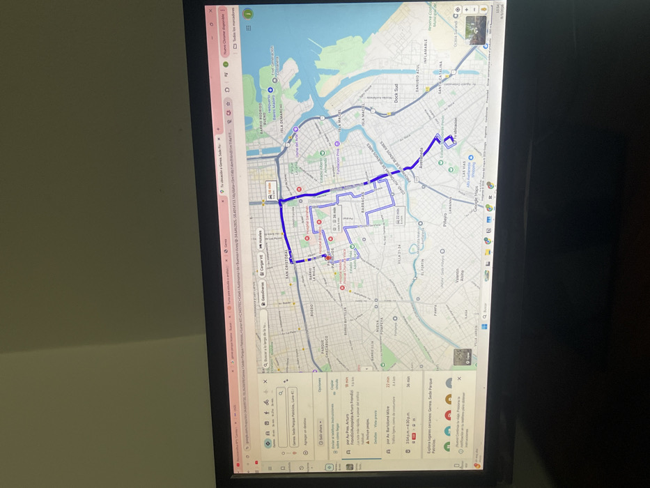
A black computer monitor, positioned slightly off-center and angled, displays a Google Maps interface in a web browser. The screen occupies the lower portion of the image, with a plain, light-colored wall visible in the upper background, exhibiting a subtle diagonal shadow. The Google Maps application shows a detailed street map of an urban area, encompassing parts of the Autonomous City of Buenos Aires and the adjacent city of Avellaneda, Argentina. The highlighted route, marked in dark blue, originates from "Tu ubicación" (Your location) within Avellaneda, south of the Riachuelo river, and extends northward across the river into the Autonomous City of Buenos Aires. The destination, "Gensa. Sede Parque Patricios, Luna 42," is situated in the Parque Patricios neighborhood. The primary route indicates an estimated travel time of 18 minutes. A sidebar on the left details alternative routes, including one via "Av. Pres. Arturo Frondizi/Autopista Arturo Frondizi" (18 min, 5.6 km) and another via "Av. Bartolomé Mitre" (22 min, 8.4 km). The interface also displays a total trip duration of 49 minutes, options for departure time, and a search bar with filters for "Gasolineras" (Gas stations), "Cargar VE" (Charge EV), and "Hoteles" (Hotels). Key geographical features such as the Riachuelo river, various neighborhoods (e.g., Barracas, Boedo, San Cristóbal, Isla Maciel, Piñeyro, Dock Sud), and landmarks like Hospital Garrahan and Estadio Alberto J. Armando are labeled on the map. The bottom right corner of the map indicates a time of "1:54 PM" and a date of "9/1/2026".
No transactions found