Sign in
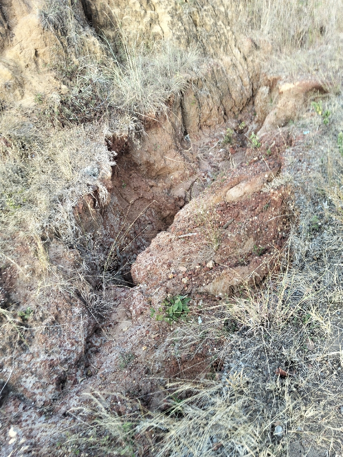
The image depicts a close-up view of an erosion gully in Waa Ngombeni ward, Kenya. The scene features exposed reddish-brown earth, heavily eroded, forming a deep, irregular gully in the center. The gully walls show stratified layers of soil and small embedded rocks. Surrounding the eroded area, the ground is uneven, composed of loose soil and sparsely covered with dry, light-colored grass and a few small green herbaceous plants. No individuals, animals, or man-made objects are present. The overall environment suggests a dry, uncultivated, or semi-arid landscape impacted by natural geological processes.
kid_korah

Feb 9, 2026, 2:40 PM

Waa Ngombeni ward, Kenya

Stake attention in this memory

Vulnerability
Decay
Instability
Desolation
Neglect

The image depicts a close-up view of an erosion gully in Waa Ngombeni ward, Kenya. The scene features exposed reddish-brown earth, heavily eroded, forming a deep, irregular gully in the center. The gully walls show stratified layers of soil and small embedded rocks. Surrounding the eroded area, the ground is uneven, composed of loose soil and sparsely covered with dry, light-colored grass and a few small green herbaceous plants. No individuals, animals, or man-made objects are present. The overall environment suggests a dry, uncultivated, or semi-arid landscape impacted by natural geological processes.

Loading AttnAds…

transactions
revenues
stakers
Earliest
Latest
Highest stake

No transactions found
More from this user

More from Waa Ngombeni ward

kid_korah

Feb 9, 2026, 2:40 PM

Waa Ngombeni ward, Kenya

Licensed under Creative Commons Attribution 4.0 International License. You are free to share and adapt this content with proper attribution.