Stake attention in this memory
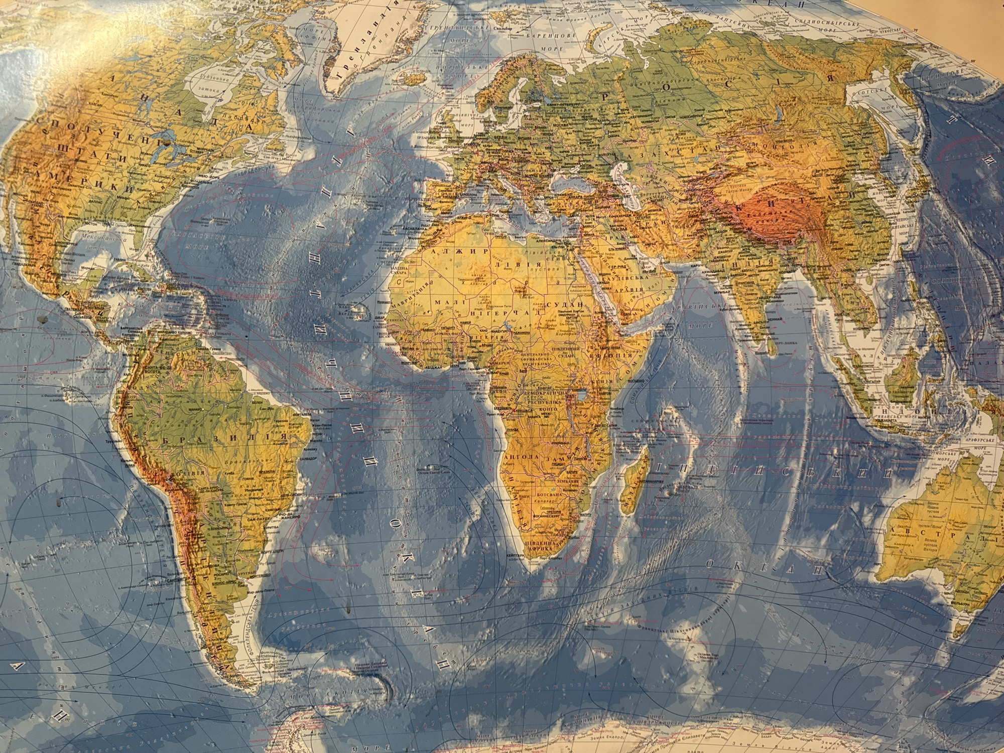
The image shows a detailed world map, likely a physical map given the textured representation of landmasses and bathymetry of oceans. The map is oriented with North at the top, displaying continents, countries, cities, and oceanographic features such as currents and depth contours. The cartography appears to be in Cyrillic script, suggesting it is from a region where this alphabet is used, such as Eastern Europe or Russia. Specific continents and regions visible include North America, South America, Africa, Europe, Asia, and Australia. Major bodies of water like the Atlantic Ocean, Pacific Ocean, Indian Ocean, Arctic Ocean, and various seas are depicted. The coloring scheme uses yellow and orange for land, with varying shades of blue for water, indicating elevation and depth. There are also topographical features like mountains represented with shading. The city of Chernivtsi, Ukraine is not directly depicted on this world map, as it is a specific city and not a continent or major geographical region that would be labeled on such a scale. To locate Chernivtsi, one would need a map of Ukraine or Eastern Europe with a much finer level of detail. This world map provides a global overview and does not zoom in to the scale of individual cities.
No transactions found