Sign in
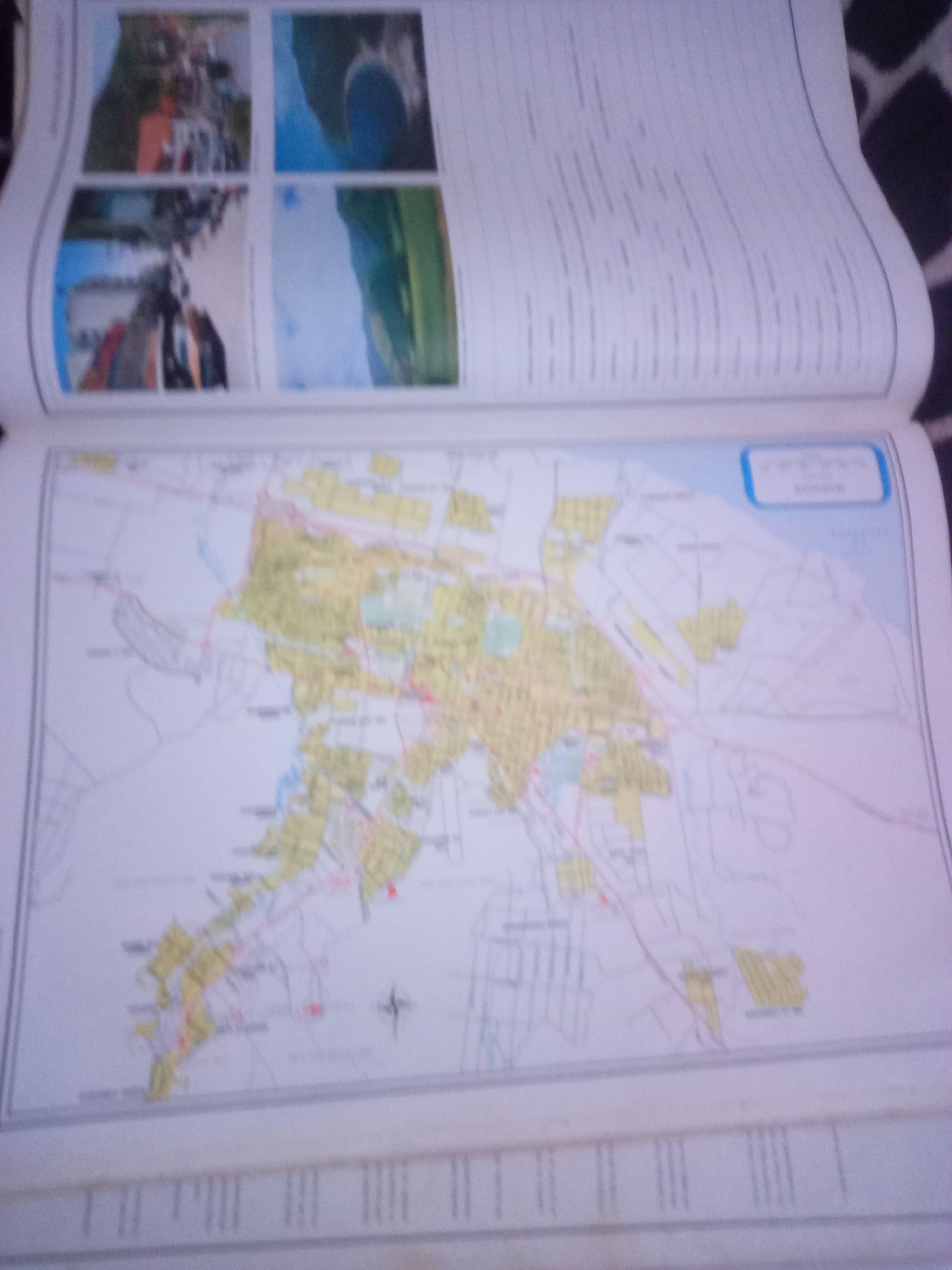
The image displays an open book with two pages visible. The left page features four small, rectangular images arranged in a two-by-two grid. These images are blurry and appear to depict scenes of buildings, water, and possibly a landscape or natural setting. The right page is mostly filled with lines of text, suggesting a document or report.

The bottom portion of the image prominently features a large, detailed map. The map is colored, with areas highlighted in yellow and green, and depicts streets, bodies of water, and possibly geographical boundaries. A compass rose symbol is visible on the map. There is a blue outlined box at the top right of the map containing text, which is illegible due to the image quality. The map appears to be a plan or layout of a specific area, potentially a city or region. Text is also visible below the map, printed in vertical columns, but it is too blurry to read. The overall impression is of an educational or informational document containing both visual elements and textual information, with a focus on cartography. The prompt mentions La Tagua, Venezuela, but there is no textual evidence within the provided image to confirm this specific location.
Alberto Rodríguez

Jun 10, 2026, 6:41 AM

La Tagua, Venezuela

Short Term

Stake attention in this memory

curiosity
exploration
planning
discovery
orientation

The image displays an open book with two pages visible. The left page features four small, rectangular images arranged in a two-by-two grid. These images are blurry and appear to depict scenes of buildings, water, and possibly a landscape or natural setting. The right page is mostly filled with lines of text, suggesting a document or report. The bottom portion of the image prominently features a large, detailed map. The map is colored, with areas highlighted in yellow and green, and depicts streets, bodies of water, and possibly geographical boundaries. A compass rose symbol is visible on the map. There is a blue outlined box at the top right of the map containing text, which is illegible due to the image quality. The map appears to be a plan or layout of a specific area, potentially a city or region. Text is also visible below the map, printed in vertical columns, but it is too blurry to read. The overall impression is of an educational or informational document containing both visual elements and textual information, with a focus on cartography. The prompt mentions La Tagua, Venezuela, but there is no textual evidence within the provided image to confirm this specific location.

Symbol

2A274

Volume

11,550

Creator

+$0.04

Revenue

+$0.07

TVL

$2.96

1D
1W
1M
All

Loading AttnAds…

transactions
revenues
stakers
Earliest
Latest
Highest stake

1

yoko

Staked 29d ago

$2.92 USD

+$0.04 USD

+1%

2

Rev Bot 🤖💰

Injected revenue 29d ago

Revenue bonus for the last stake.

+$0.07 USD

More from this user

More from La Tagua

Alberto Rodríguez

Jun 10, 2026, 6:41 AM

La Tagua, Venezuela

Licensed under Creative Commons Attribution 4.0 International License. You are free to share and adapt this content with proper attribution.





