Stake attention in this memory
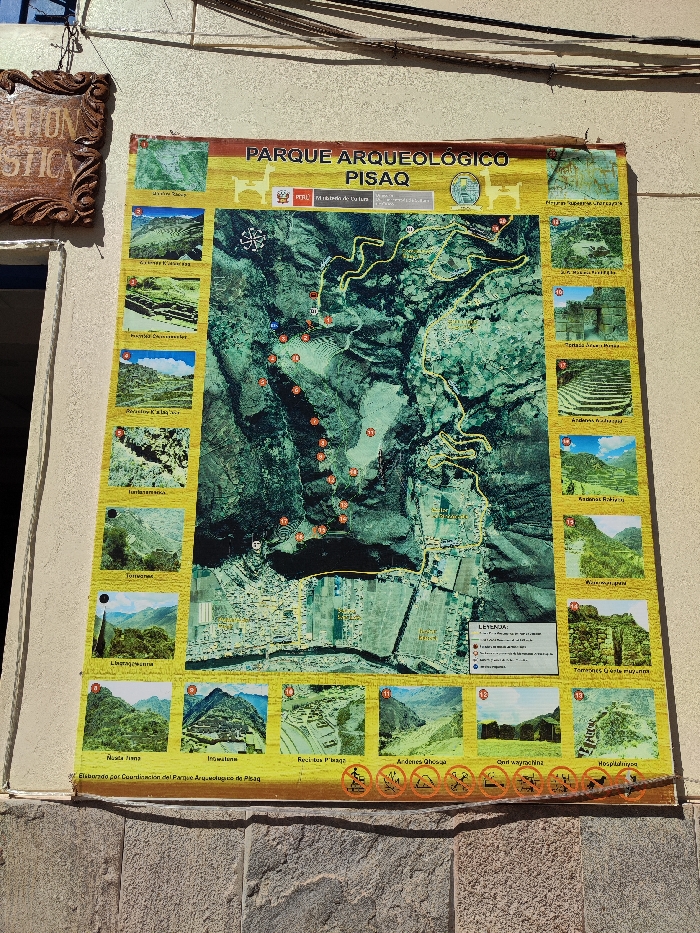
map
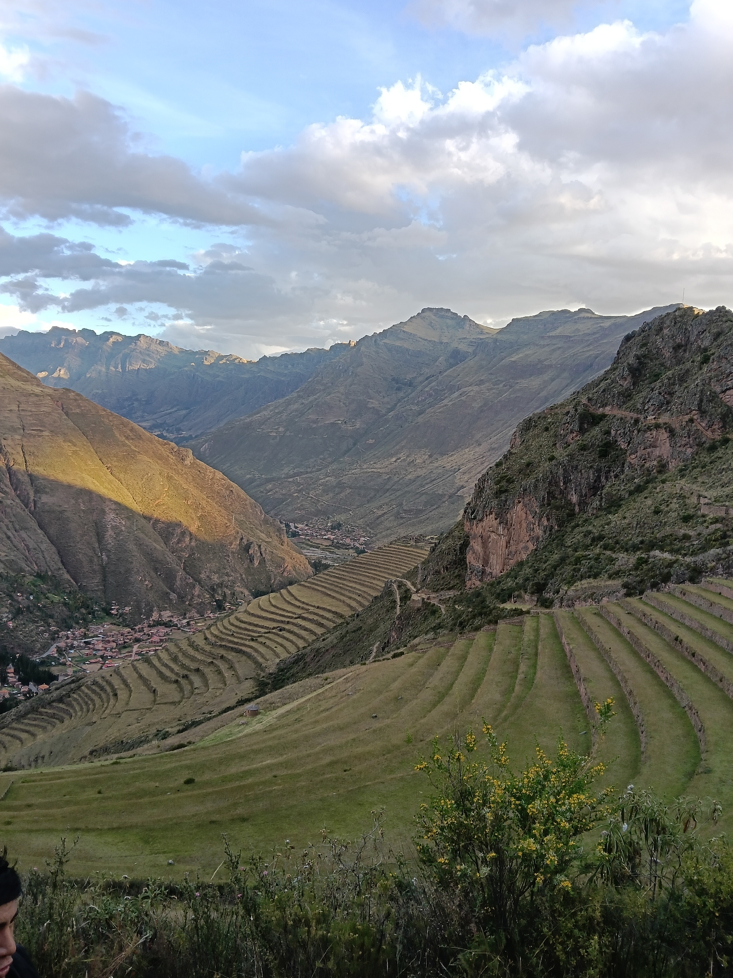
archeological site
Pisac
Peru
signage
The image displays a park map of the "Parque Arqueológico Pisaq" in Peru, including a large aerial view showcasing the park's topography and trails, identified by numbered markers. Surrounding the central map are smaller photographs depicting various points of interest, such as "Nusta Fina", "Intihuatana", and "Andenes Qhosqa". Symbols at the bottom indicate permissible activities. The map is produced by the Parque Arqueológico de Pisaq coordination, in collaboration with the Peruvian Ministry of Culture. A wooden sign with the word "Atracciones" is seen on the wall beside the map.
transactions
revenues
stakers
Earliest
Latest
Highest stake
No transactions found