
Stake attention in this memory
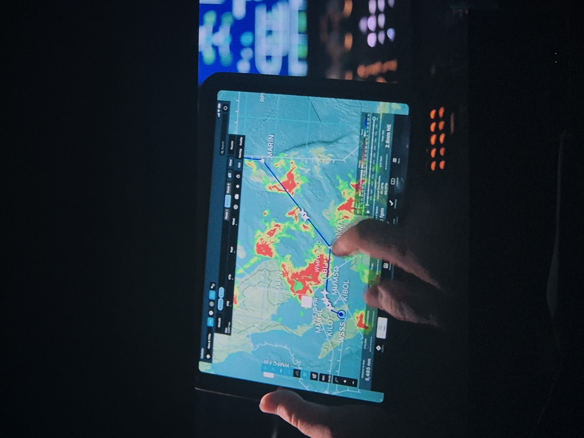
An overhead close-up shot shows a tablet computer displaying a weather radar map with a flight path superimposed. The tablet is held by two hands, one from the left and one from the right, in a dark environment, likely a cockpit. The map shows areas of precipitation in red and yellow over a blue and green topographical background, indicating weather patterns. Several airport codes are visible on the map, including "MAPN", "MABAL", "KIBOL", "MUMSO", and "KILLOT". The flight path is a blue line with a white airplane icon marking the current position, moving across the map. Below the map, a horizontal bar displays information such as "5,485 nm", "fpm", and "2.6nm NE". To the right of the tablet, part of another screen is visible, showing a display of illuminated buttons or lights in purple and pink hues. The overall scene suggests an aviation context, possibly a pilot or air traffic controller monitoring weather conditions and flight progress.
Symbol
2AA7C
Volume
6,513
Creator
+$0.00
Revenue
+$0.00
TVL
$2.25
Loading AttnAds…