Stake attention in this memory
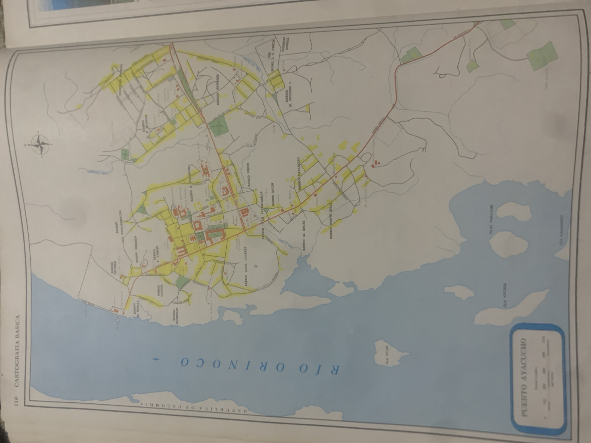
This is an image of a map titled "CARTOGRAFIA BASICA" with the number 116. The map depicts a coastal area with a river labeled "RIO ORINOCO" and a settlement called "PUERTO AYACUCHO." The map shows various "BARRIO" (neighborhoods) within Puerto Ayacucho, as well as islands labeled "ISLAS PARATURE," "ISLA KOYORAL," and "ISLA POIRE." The map includes a compass rose and a scale bar. The background is a light blue, representing water, and the land areas are a light yellow with some green patches. The text is in Spanish. The overall scene is a geographical representation of the Puerto Ayacucho region, likely for informational or planning purposes. There are no people, animals, or activities depicted.
Symbol
2B4D0
Volume
0
Creator
+$0.03
Revenue
+$0.00
TVL
$0.00
Loading AttnAds…

2

Rev Bot 🤖💰
Injected revenue 2mo ago
“Revenue bonus for the last stake.”
+$0.05 USD





