
Sign in
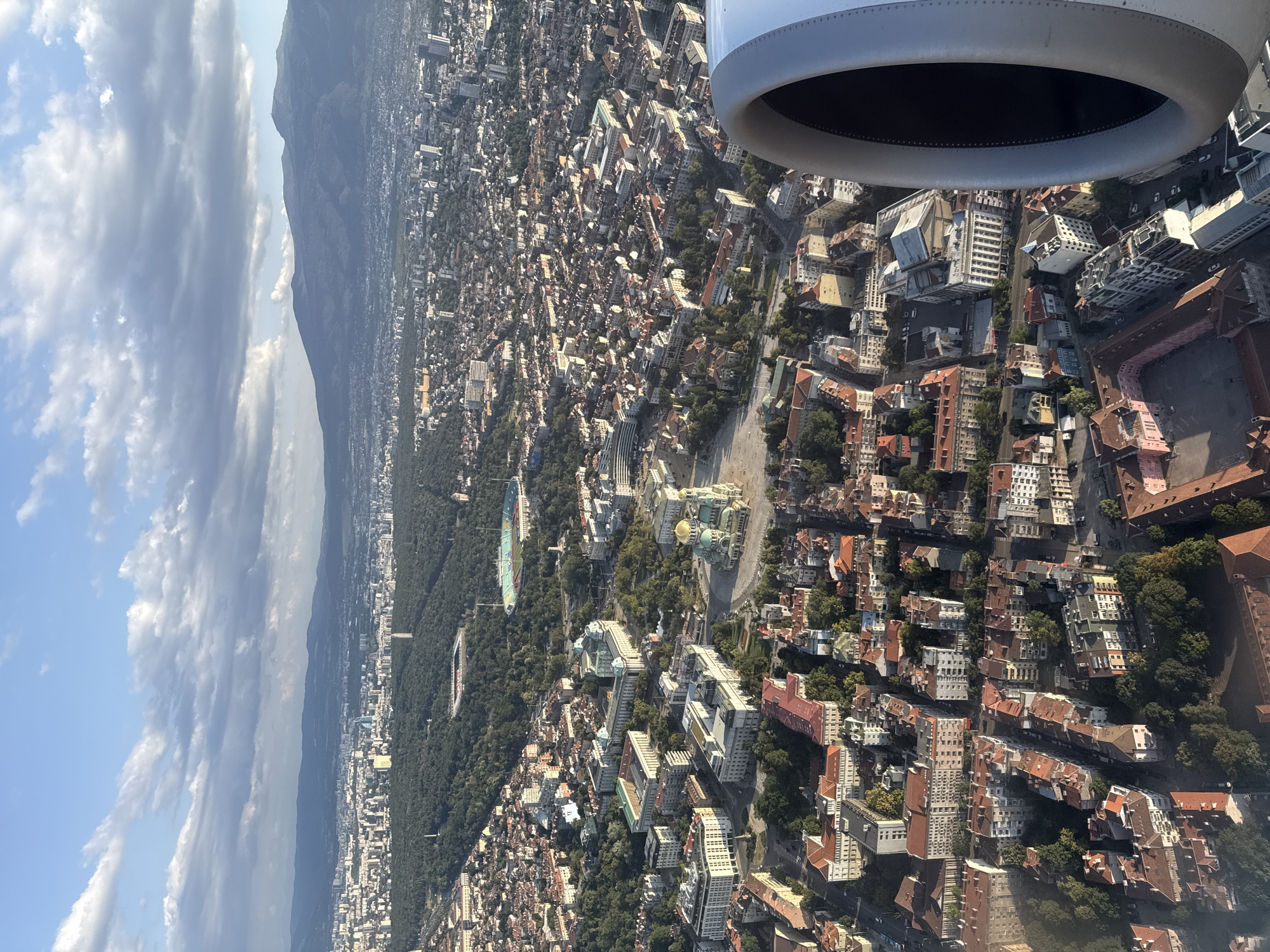
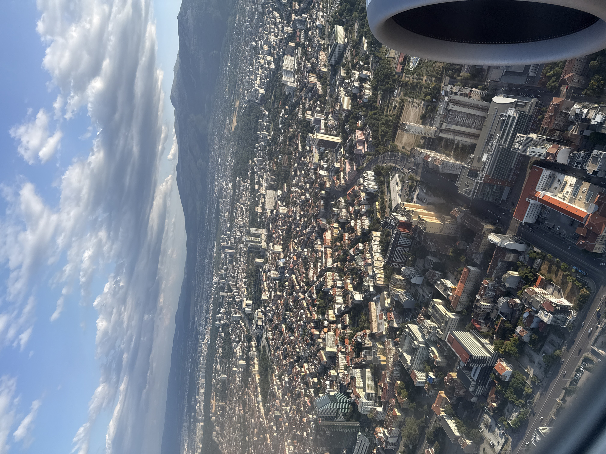
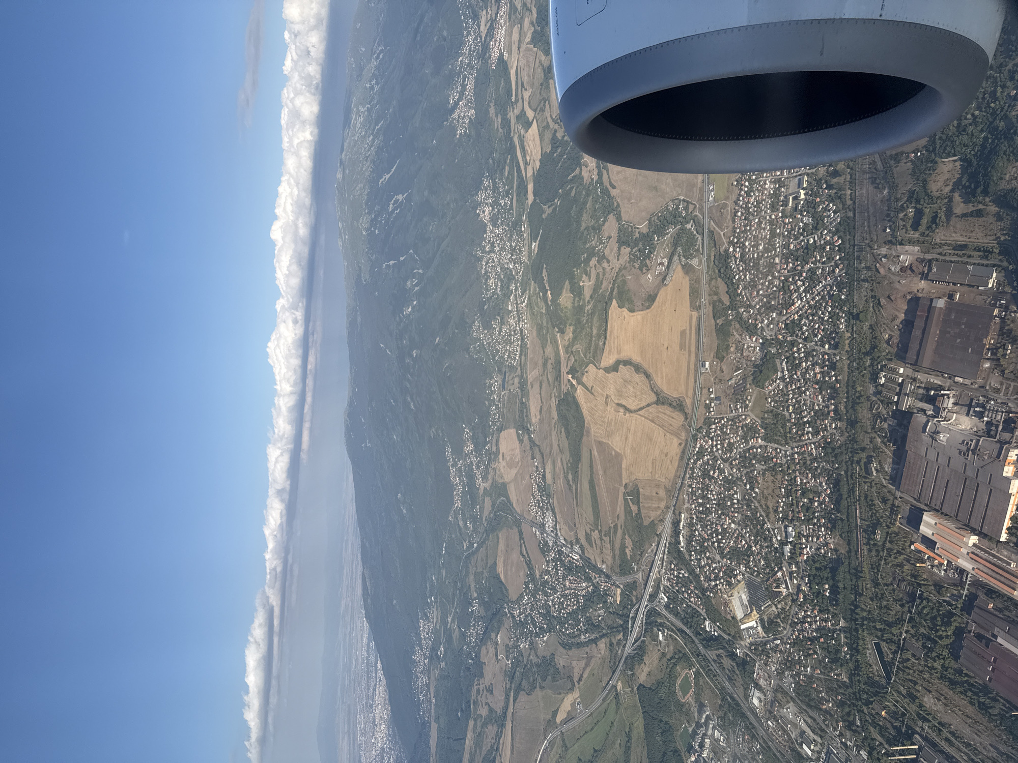
The image is an aerial view of the city of Pernik, Bulgaria, taken from an airplane. In the foreground, a portion of an airplane's engine nacelle is visible on the right side of the frame. The landscape below features a mix of urban areas, industrial zones, and rural terrain.

The city itself appears as a dense collection of buildings with red roofs, indicative of residential areas. These are interspersed with patches of green, suggesting parks or tree-lined streets. A prominent feature of the urban landscape is a network of roads and highways, with several interchanges and bridges visible, connecting different parts of the city and its surroundings.

Beyond the immediate urban sprawl, the land transitions to more rural characteristics. Large fields, some appearing to be cultivated with yellow or brown crops, are visible. The terrain then rises to meet a large, mountainous area in the background, which is partially covered in green vegetation. The distant mountain peaks are somewhat hazy, a common effect in aerial photography.

A notable industrial area with large factory buildings, warehouses, and possibly processing plants is situated in the lower left portion of the image. These structures are characterized by their utilitarian design and metallic or dark-colored roofs. There is also a sports stadium with a track visible near the industrial zone.

The sky above is a clear blue, with a band of white, puffy clouds stretching horizontally across the middle distance. The overall lighting suggests it is daytime, with the sun casting shadows that reveal the topographical details of the landscape. No people are discernible in the image.
p.krystev

Aug 14, 2026, 3:44 PM

Pernik, Bulgaria

Stake attention in this memory

peaceful
awe-inspiring
expansive
serene
calm

The image is an aerial view of the city of Pernik, Bulgaria, taken from an airplane. In the foreground, a portion of an airplane's engine nacelle is visible on the right side of the frame. The landscape below features a mix of urban areas, industrial zones, and rural terrain. The city itself appears as a dense collection of buildings with red roofs, indicative of residential areas. These are interspersed with patches of green, suggesting parks or tree-lined streets. A prominent feature of the urban landscape is a network of roads and highways, with several interchanges and bridges visible, connecting different parts of the city and its surroundings. Beyond the immediate urban sprawl, the land transitions to more rural characteristics. Large fields, some appearing to be cultivated with yellow or brown crops, are visible. The terrain then rises to meet a large, mountainous area in the background, which is partially covered in green vegetation. The distant mountain peaks are somewhat hazy, a common effect in aerial photography. A notable industrial area with large factory buildings, warehouses, and possibly processing plants is situated in the lower left portion of the image. These structures are characterized by their utilitarian design and metallic or dark-colored roofs. There is also a sports stadium with a track visible near the industrial zone. The sky above is a clear blue, with a band of white, puffy clouds stretching horizontally across the middle distance. The overall lighting suggests it is daytime, with the sun casting shadows that reveal the topographical details of the landscape. No people are discernible in the image.

Loading AttnAds…

transactions
revenues
stakers
Earliest
Latest
Highest stake

No transactions found

More from this user

More from Pernik

p.krystev

Aug 14, 2026, 3:44 PM

Pernik, Bulgaria

Licensed under Creative Commons Attribution 4.0 International License. You are free to share and adapt this content with proper attribution.